Terrain Viewer Overview: a free browser viewer for elevation data
What Terrain Viewer is (hillshade, slope, contours, 3D and historical imagery on global terrain, national LiDAR or your own GeoTIFF, with no install) and how its sidebar is organised.
Terrain Viewer is a browser-based terrain and historical-imagery visualization tool built on MapLibre GL via react-map-gl. Every setting lives in the URL query string, so any view is shareable as a plain link.
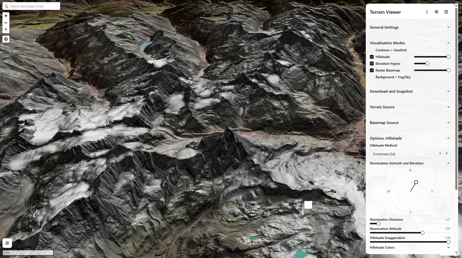
Hillshade + Elevation Hypso + Raster Basemap — Matterhorn (Mont Cervin), Alps
Elevation Terrain Visualizer is a browser-based terrain visualization/export tool built on MapLibre GL (React + TypeScript + Vite, pnpm).
Two main modes:
- Terrain mode — pick a source (Mapterhorn, Mapbox, MapTiler, AWS Mapzen, or your own COG/GeoTIFF), render with many relief techniques (hillshade, hypsometric tint, contours, slope/aspect/curvature, TRI/TPI/roughness, sky-view-factor/openness, LRM, an experimental mound detector called "Tells"), in 2D/3D/Globe, exportable as GeoTIFF/screenshots/QGIS templates.
- Historical Imagery mode — scrub a per-tile capture-date timeline across providers (ESRI Wayback, Google Earth Historical, Landsat/Sentinel HLS, Planet, Bing), with N-way grid/split compare and CSS-blend-mode overlay.
The two headline features
Terrain Visualization Modes — every relief technique the app has, stackable and independently tunable. See Terrain Visualization Modes for the complete guide (equations, dev-page deep dives, per-mode controls):
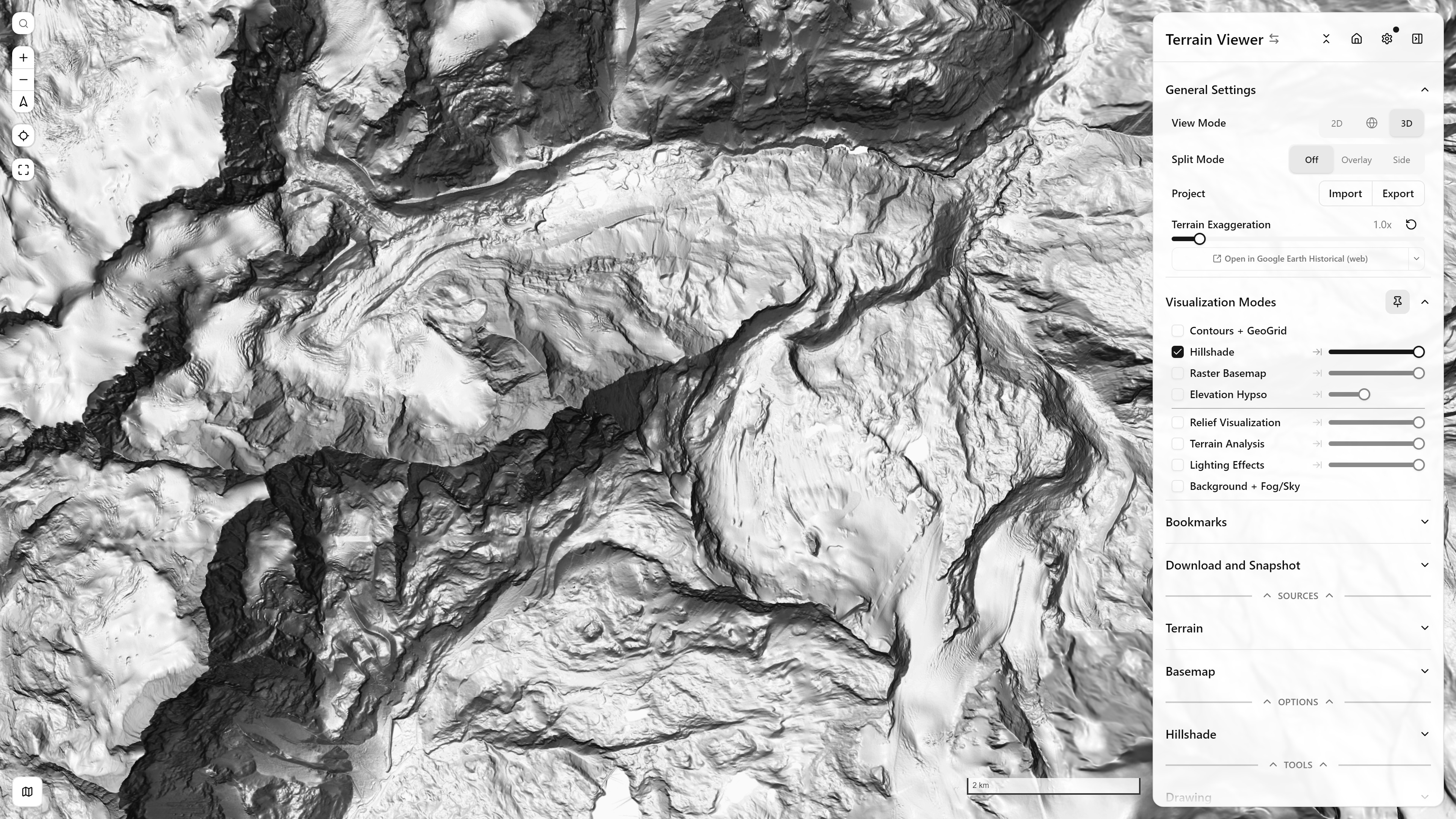
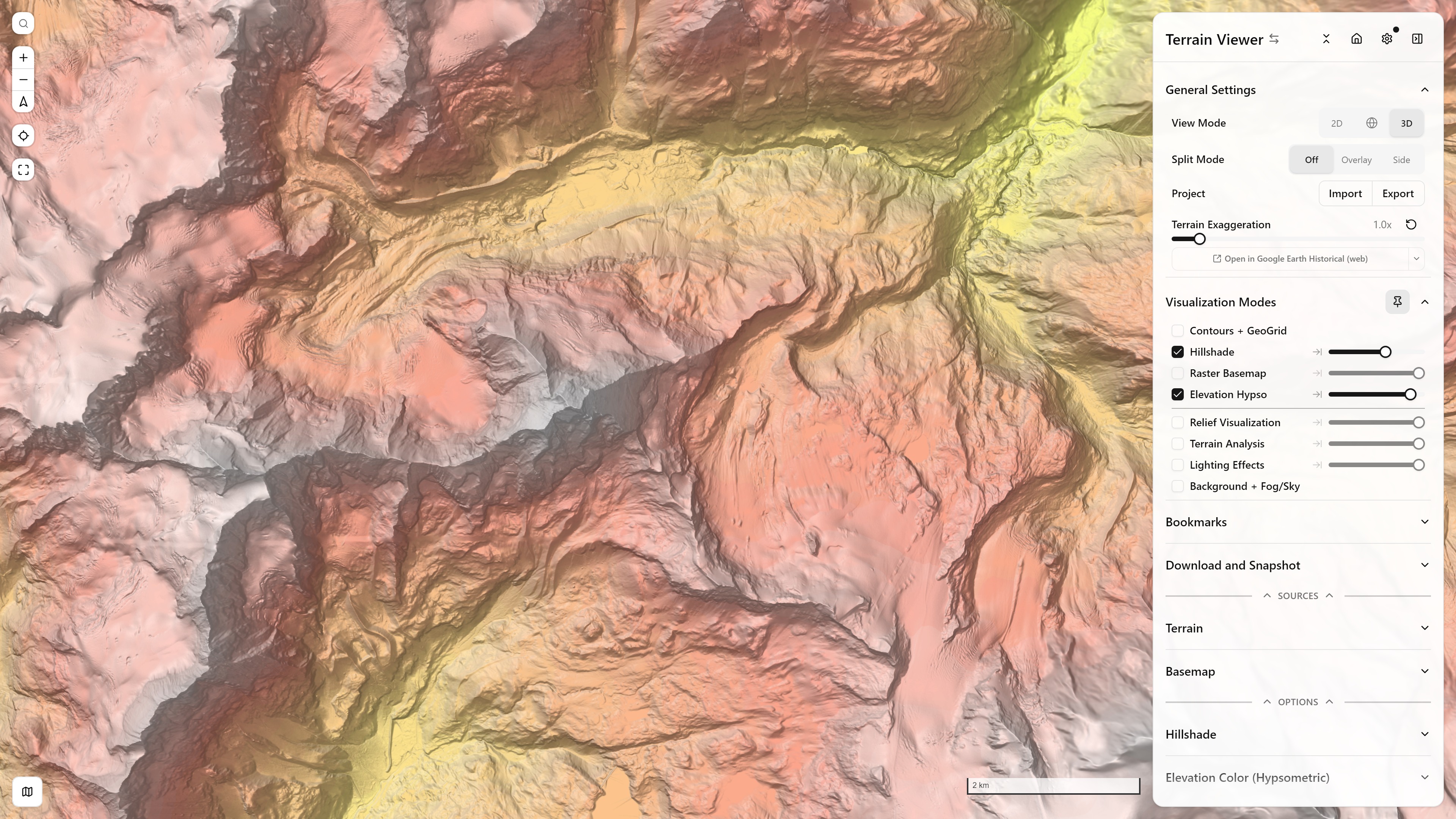
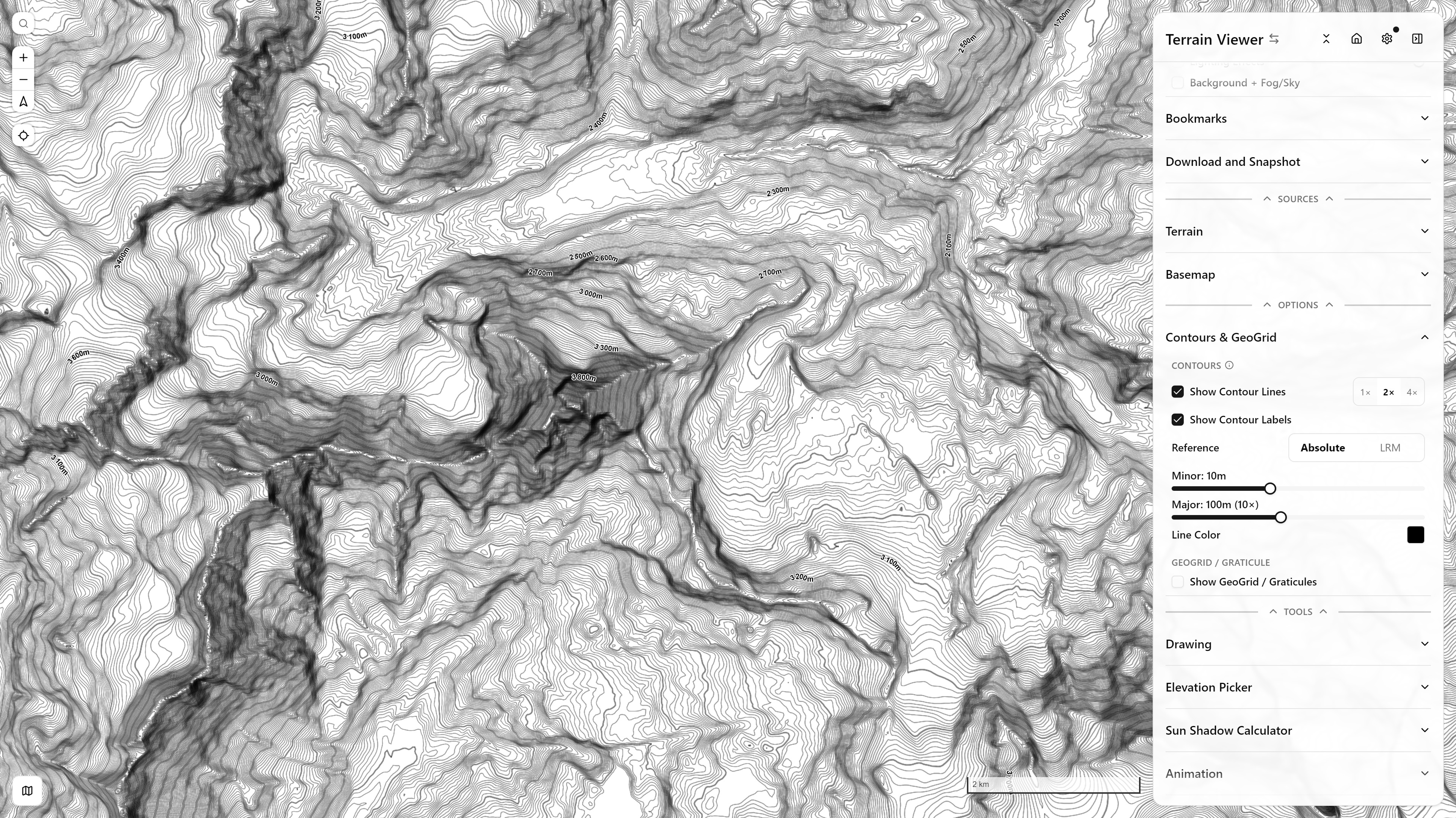
Terrain Analysis
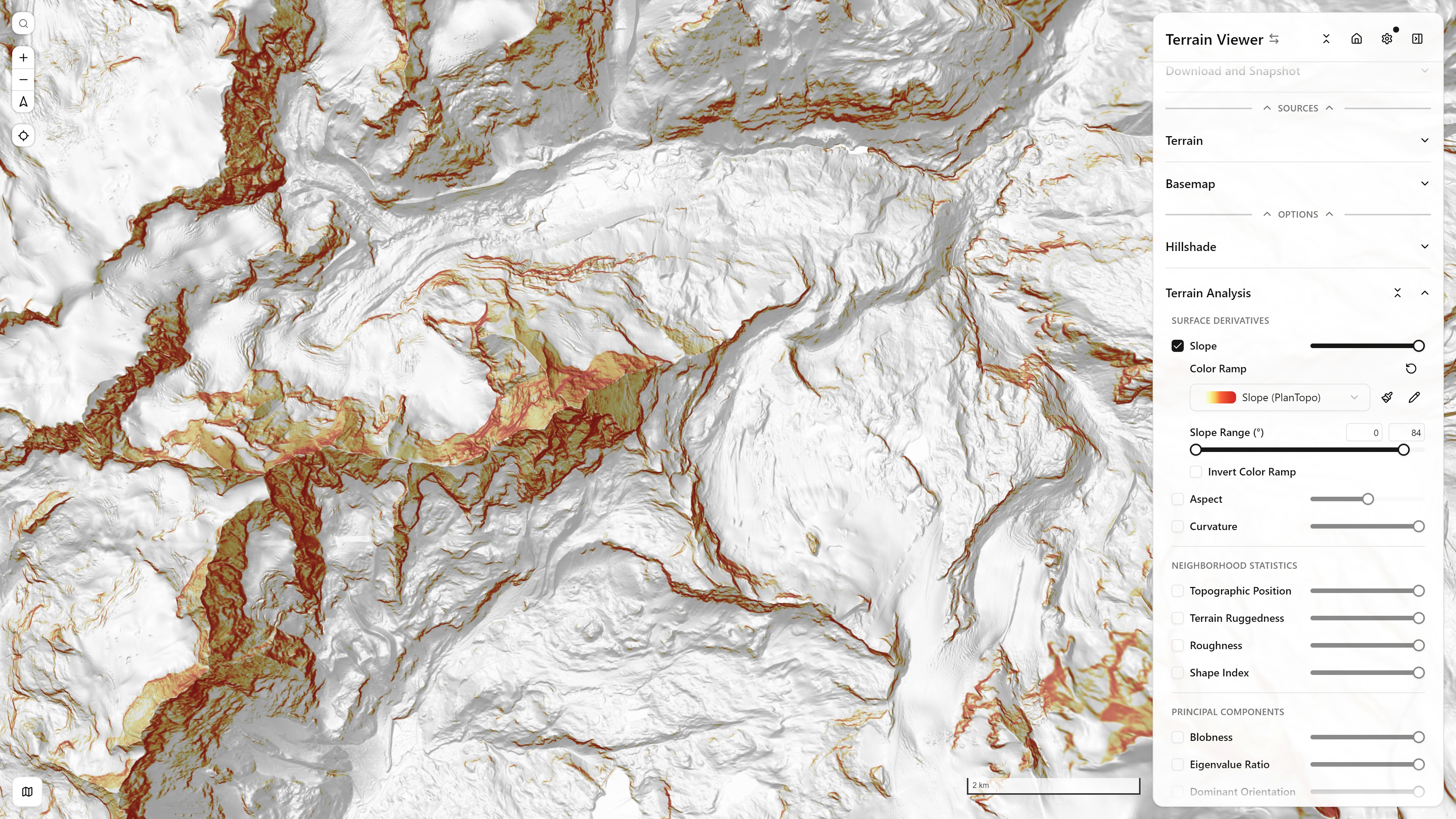
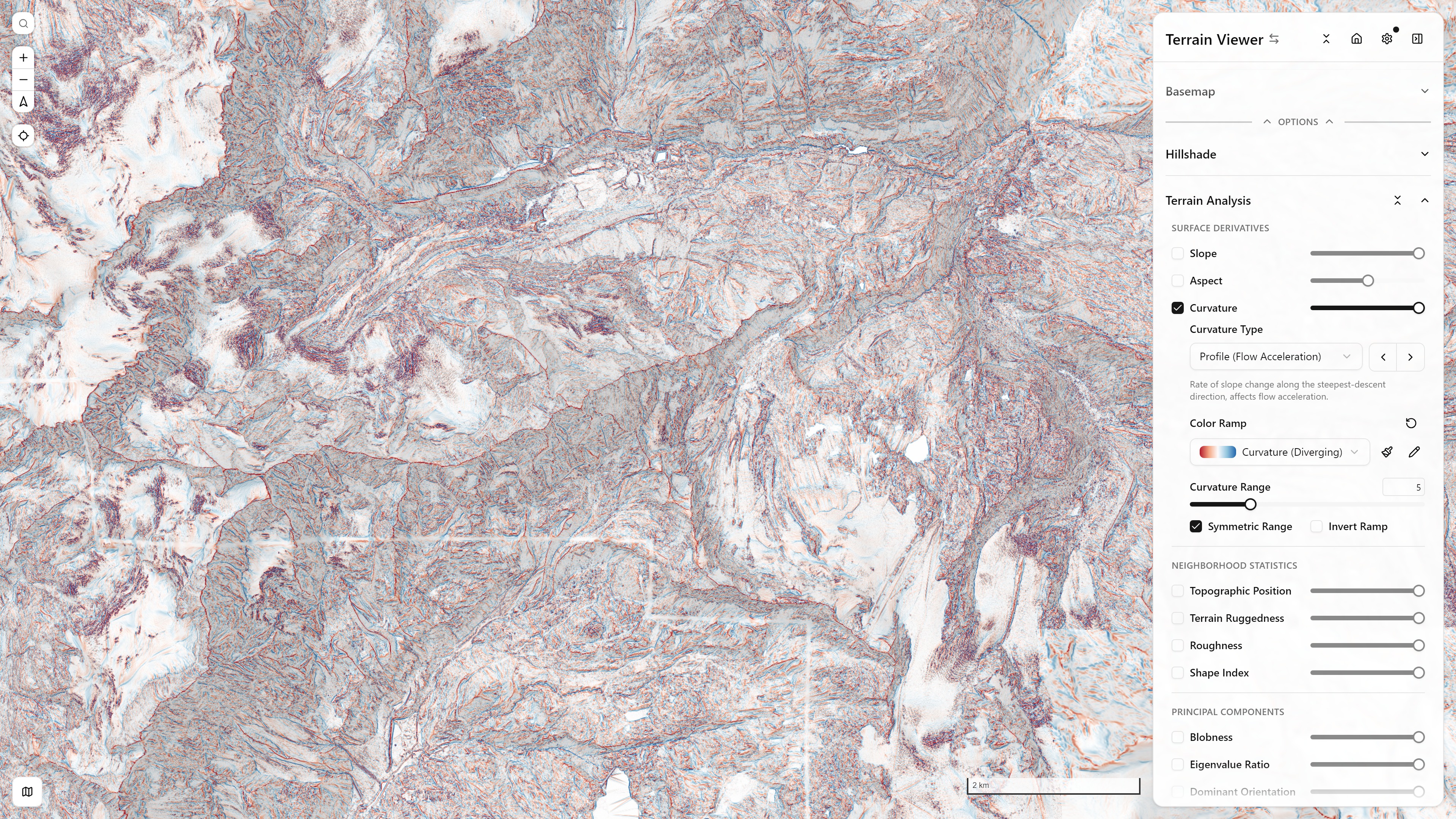
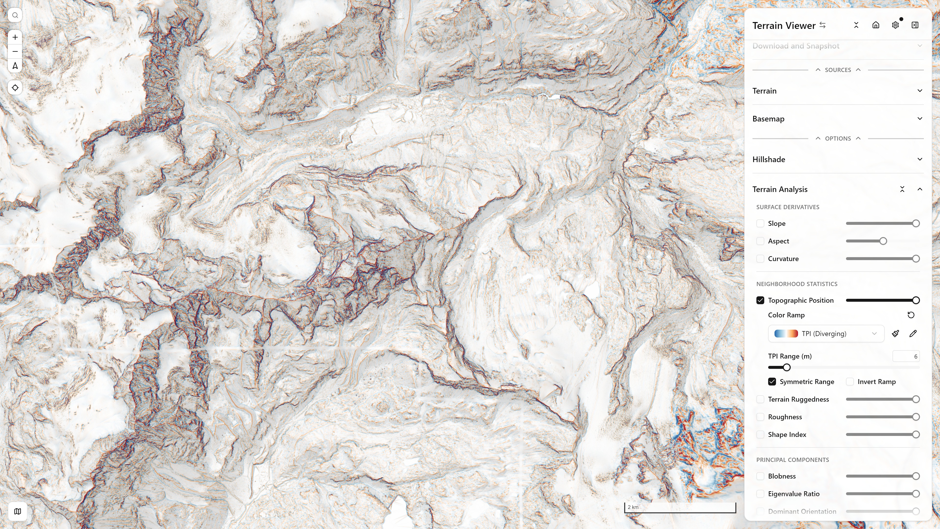
Relief Visualization
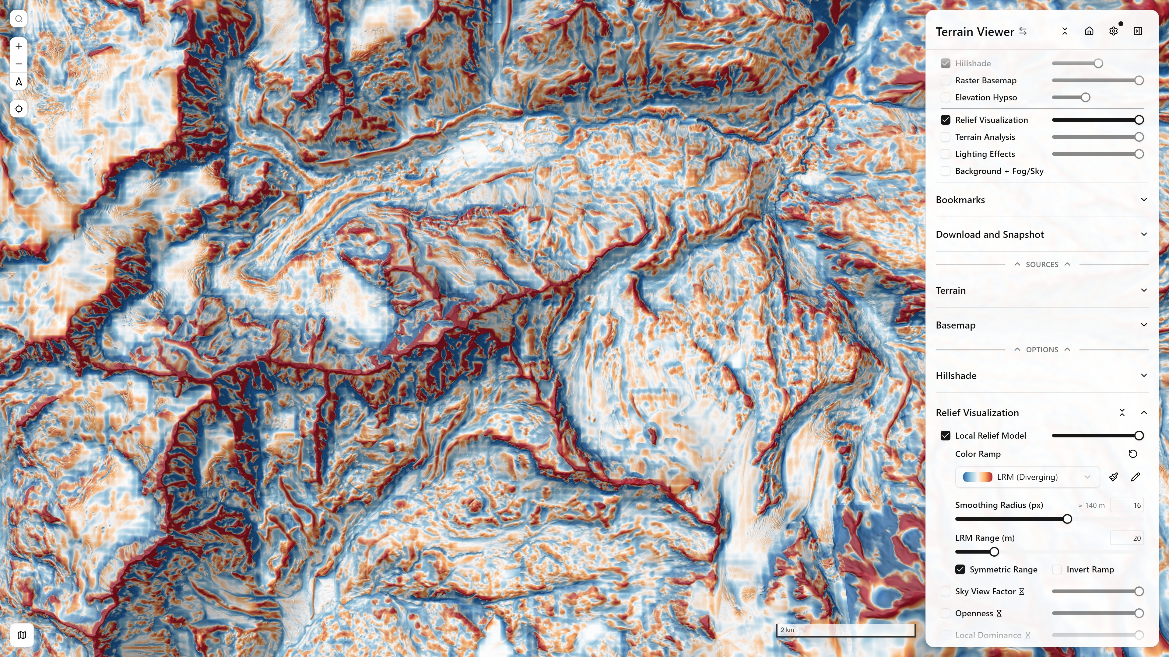
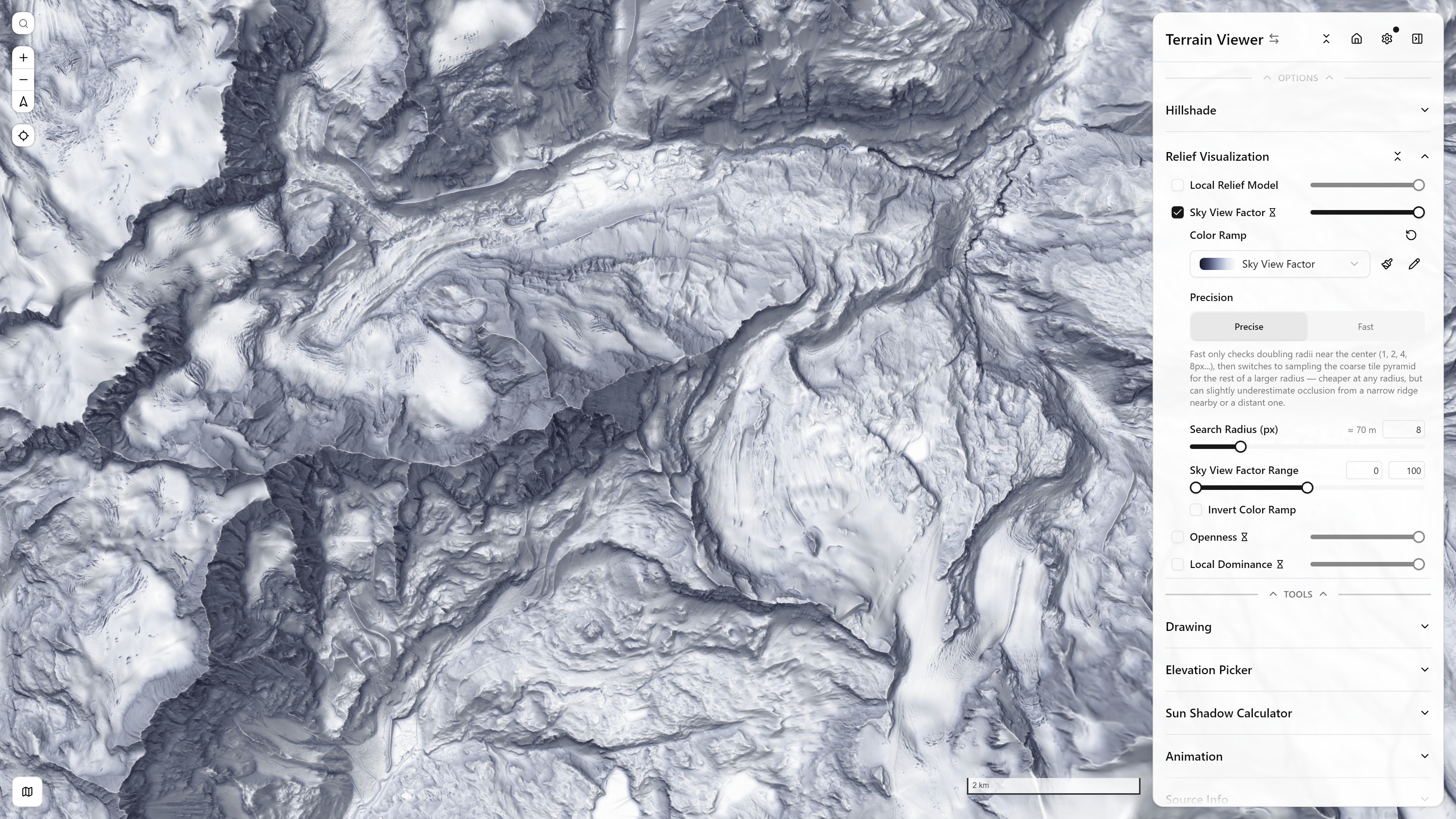
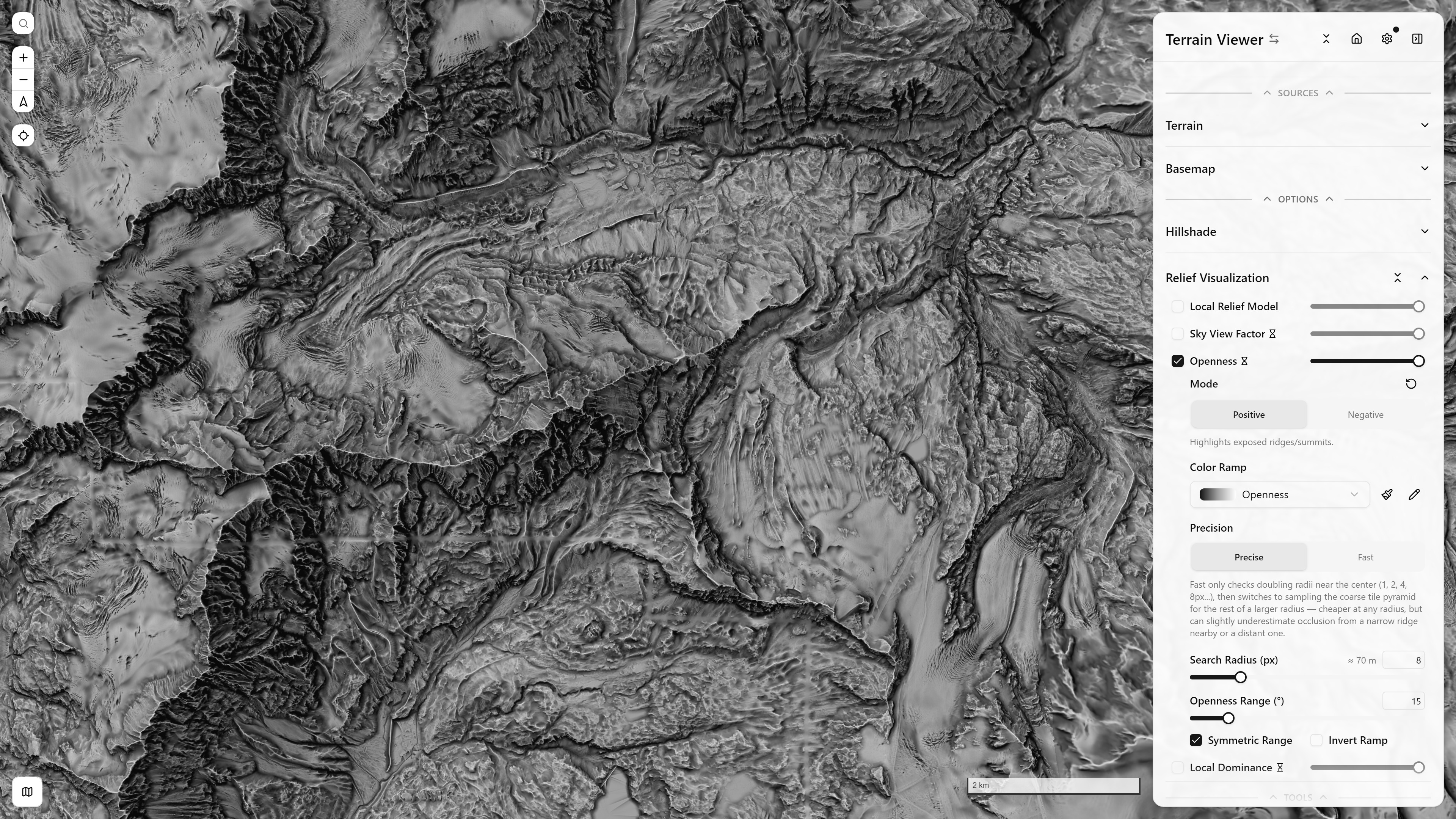
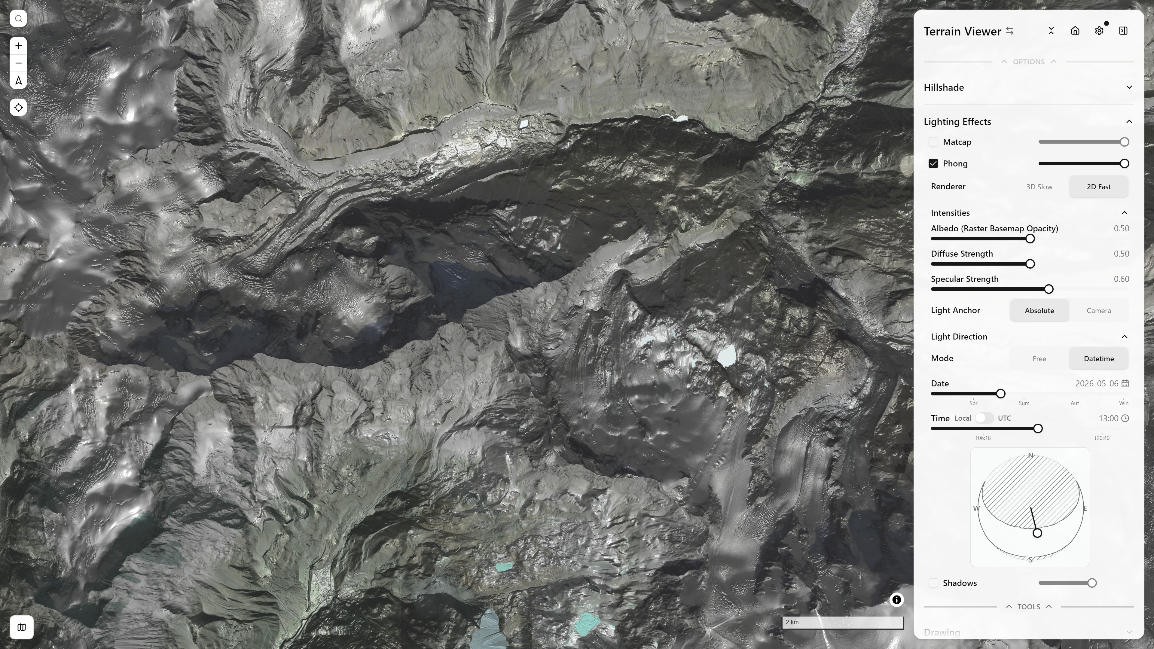
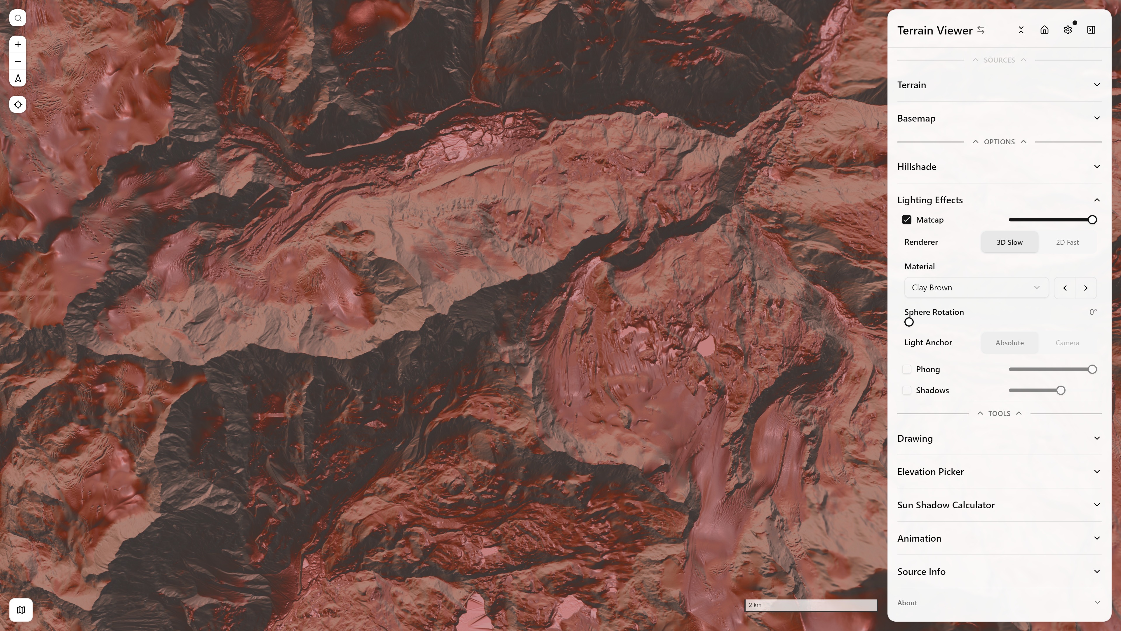
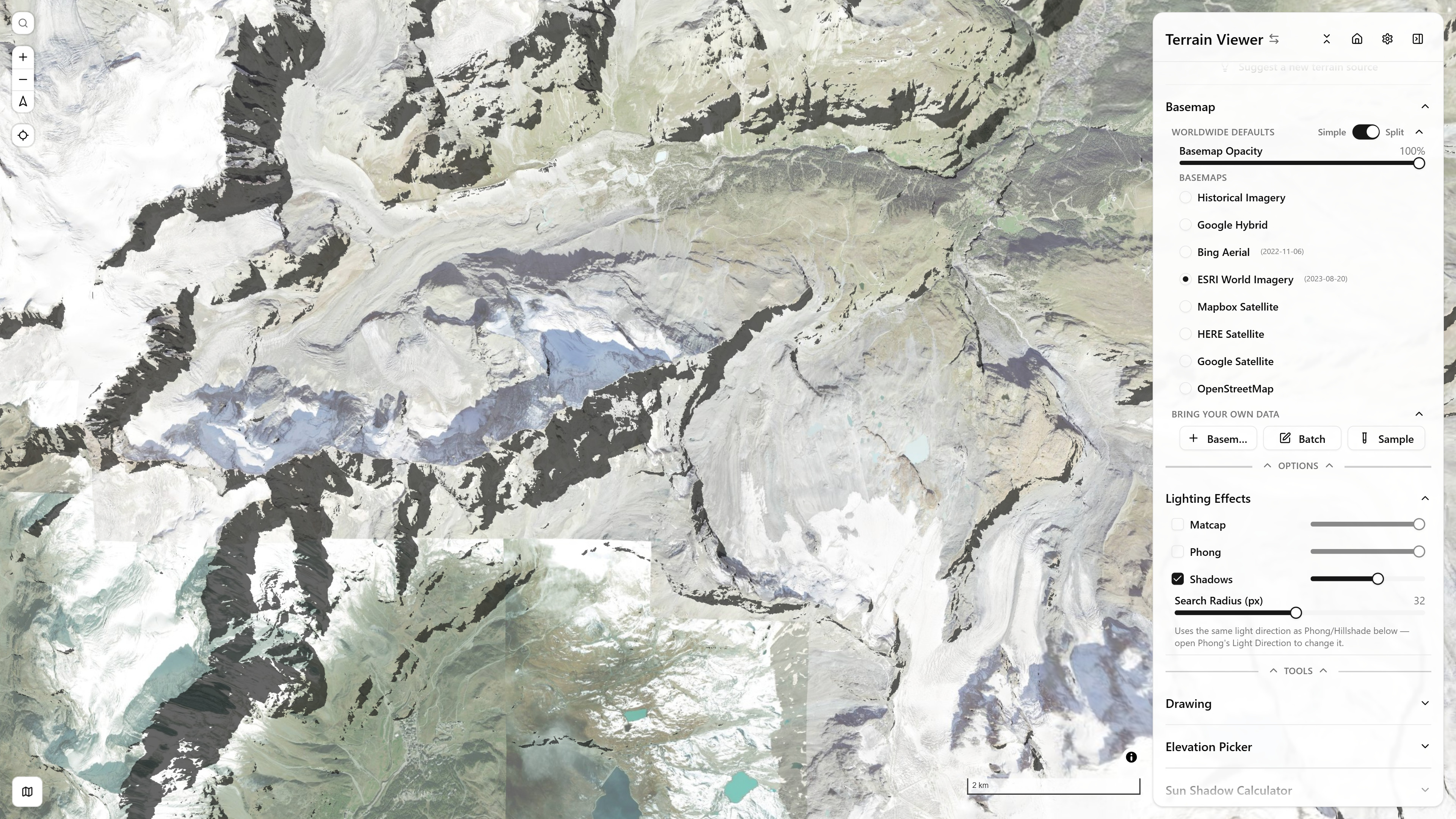
See Terrain Visualization Modes for the full writeup of every mode above.
Historical Imagery — a per-tile capture-date timeline, and any grid layout up to 4×2 for comparing providers/dates side by side. Below, a 2×2 grid mixes Google Earth Historical, ESRI Wayback, and a live Bing pane over the same Paris rooftops across four different capture dates:
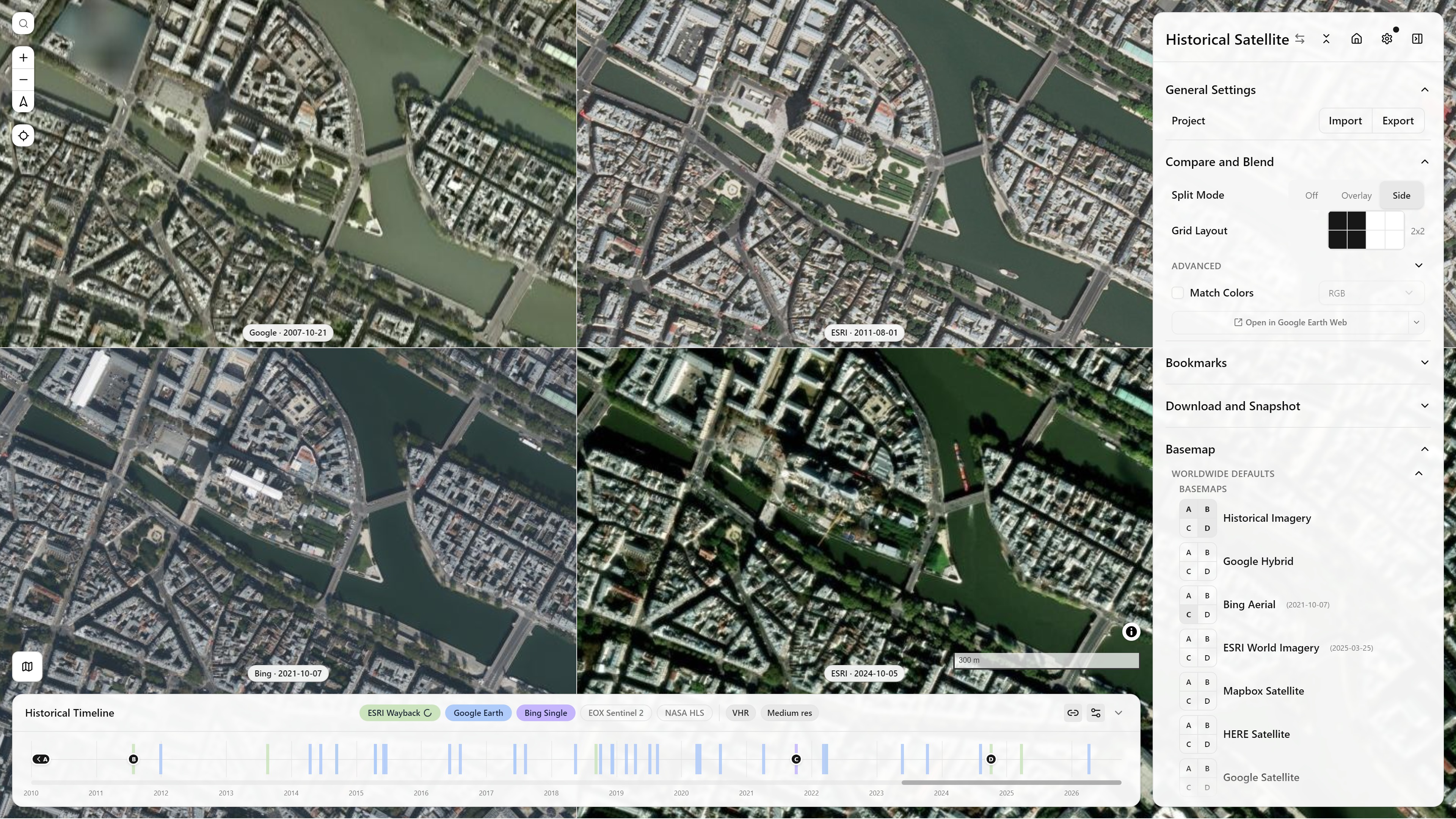
Historical Imagery, Split Mode Side (2×2) — Paris — open in app ↗
See Historical Imagery Timeline for how the timeline works, and Historical Sources for the providers and catalogs behind it.
Sidebar groups
- General Settings — View Mode (2D/3D/Globe), Project import/export, Terrain Exaggeration
- Compare and Blend — Split Mode (Off/Overlay/Side, up to an 8-view grid), blend mode and opacity, Match Colors, per-view border colours
- Visualization Modes
- Bookmarks
- Sources — Terrain and Basemaps and Overlays, including the combined Historical Imagery Timeline entry
- Options / Tools — per-mode option panels, Drawing, Elevation Picker, Animation, Source Info