Walkthrough
Every step of the in-app guided tour (Coachmark) — intro, Terrain deep dive, Historical Imagery deep dive
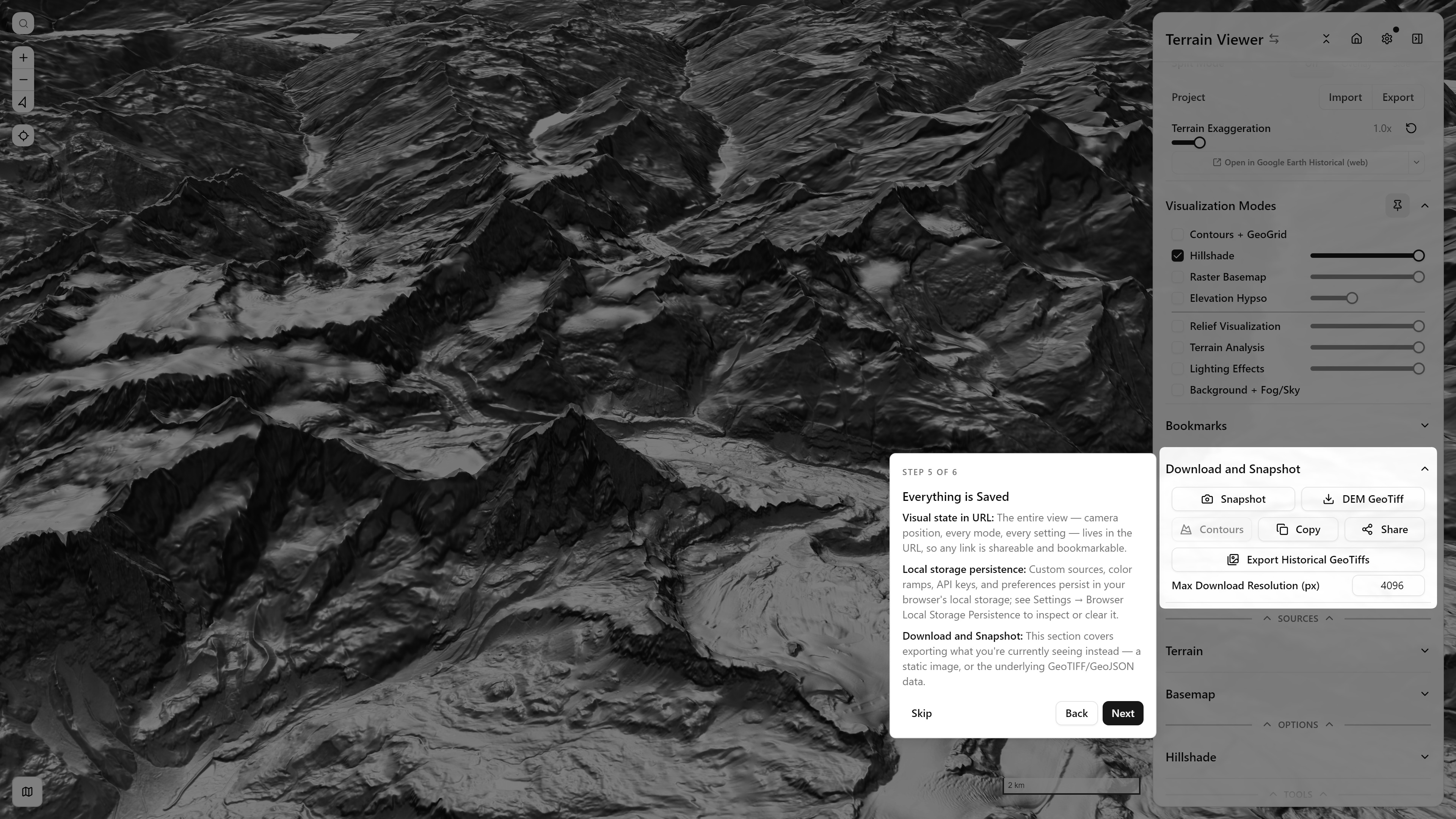
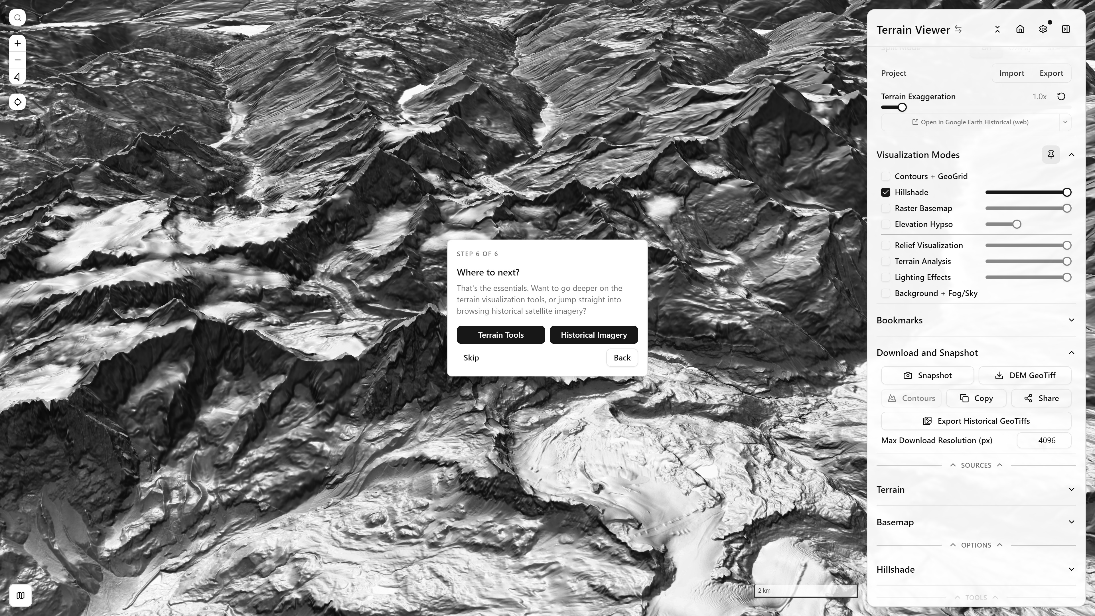
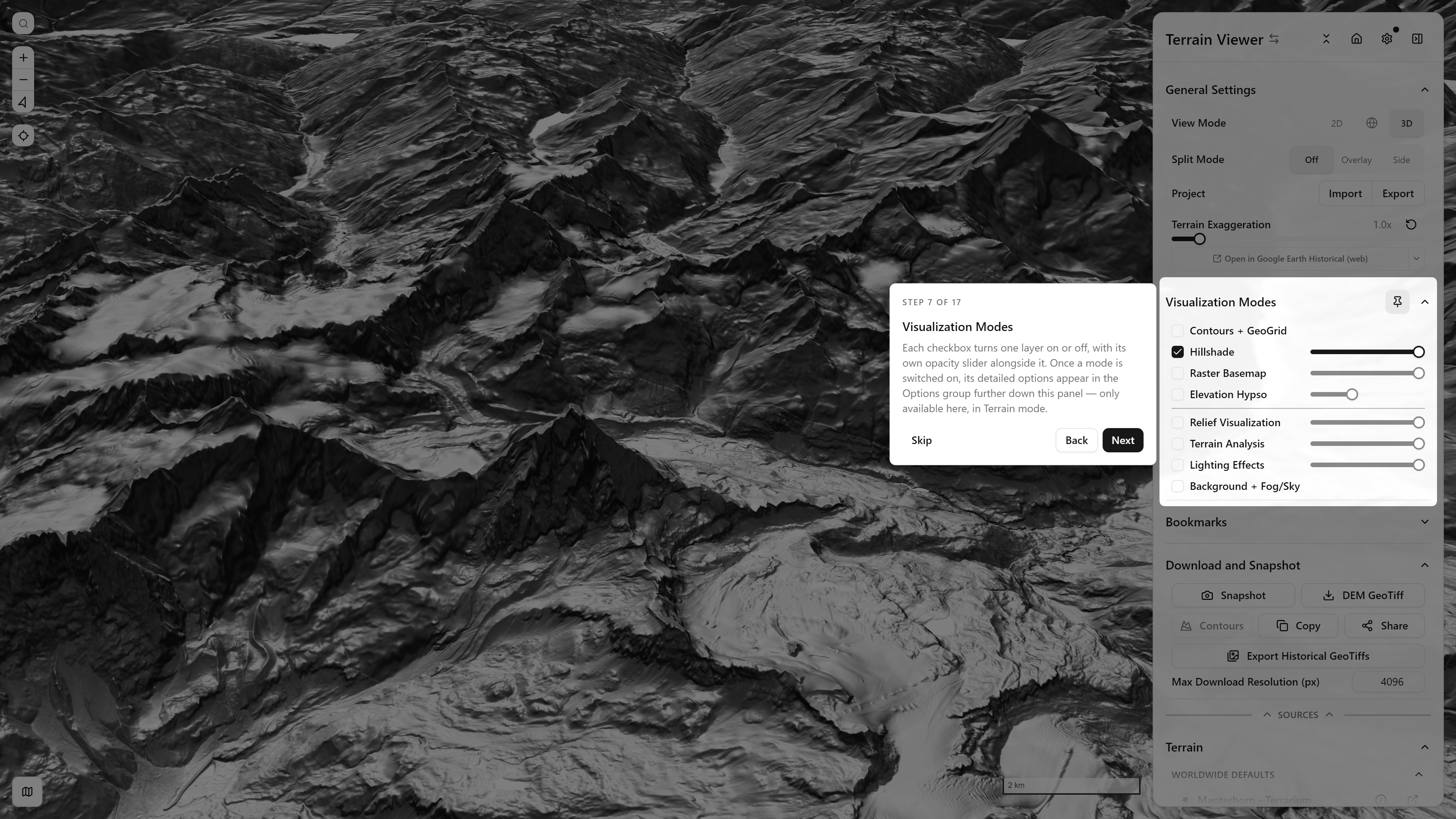
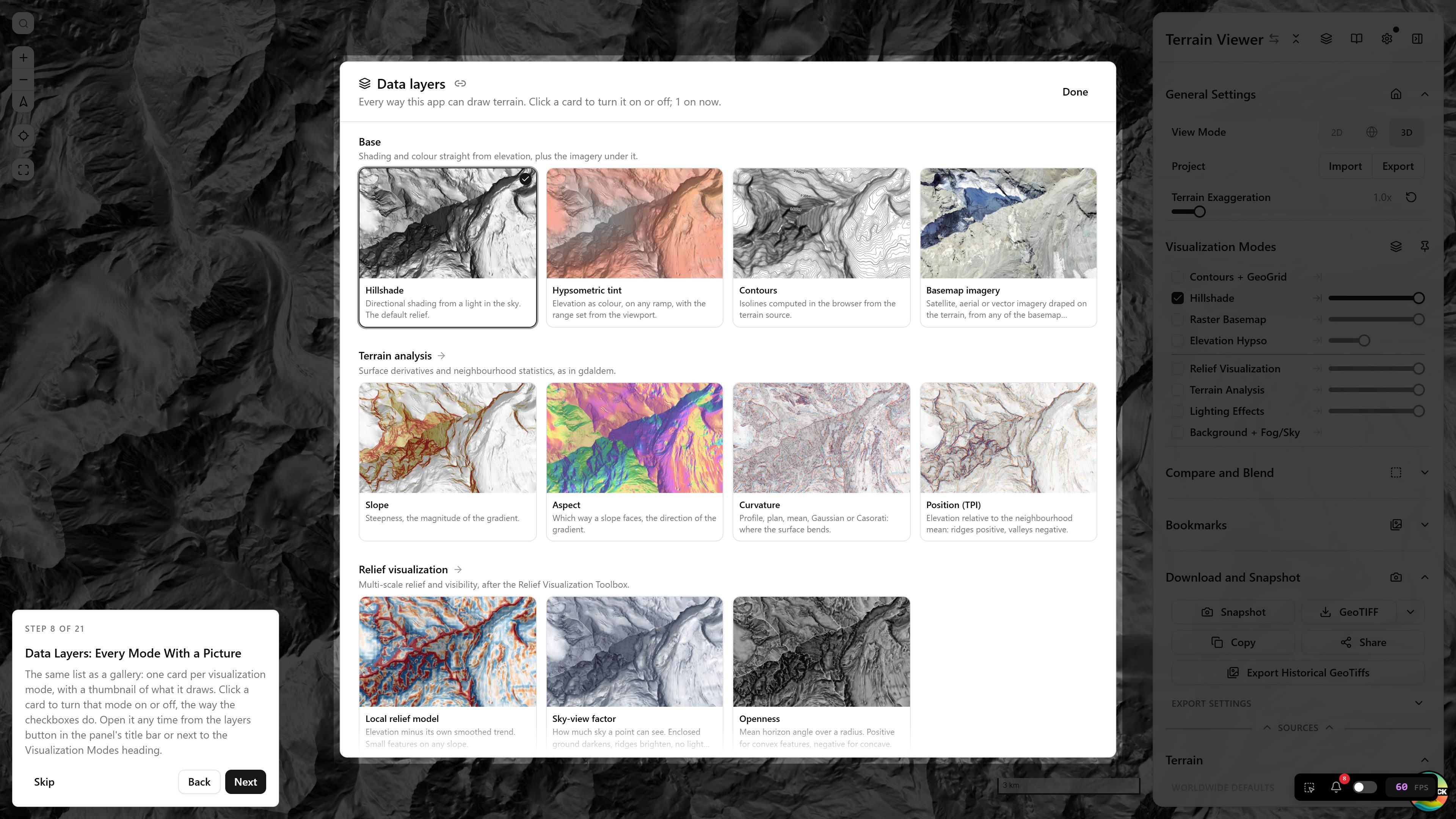
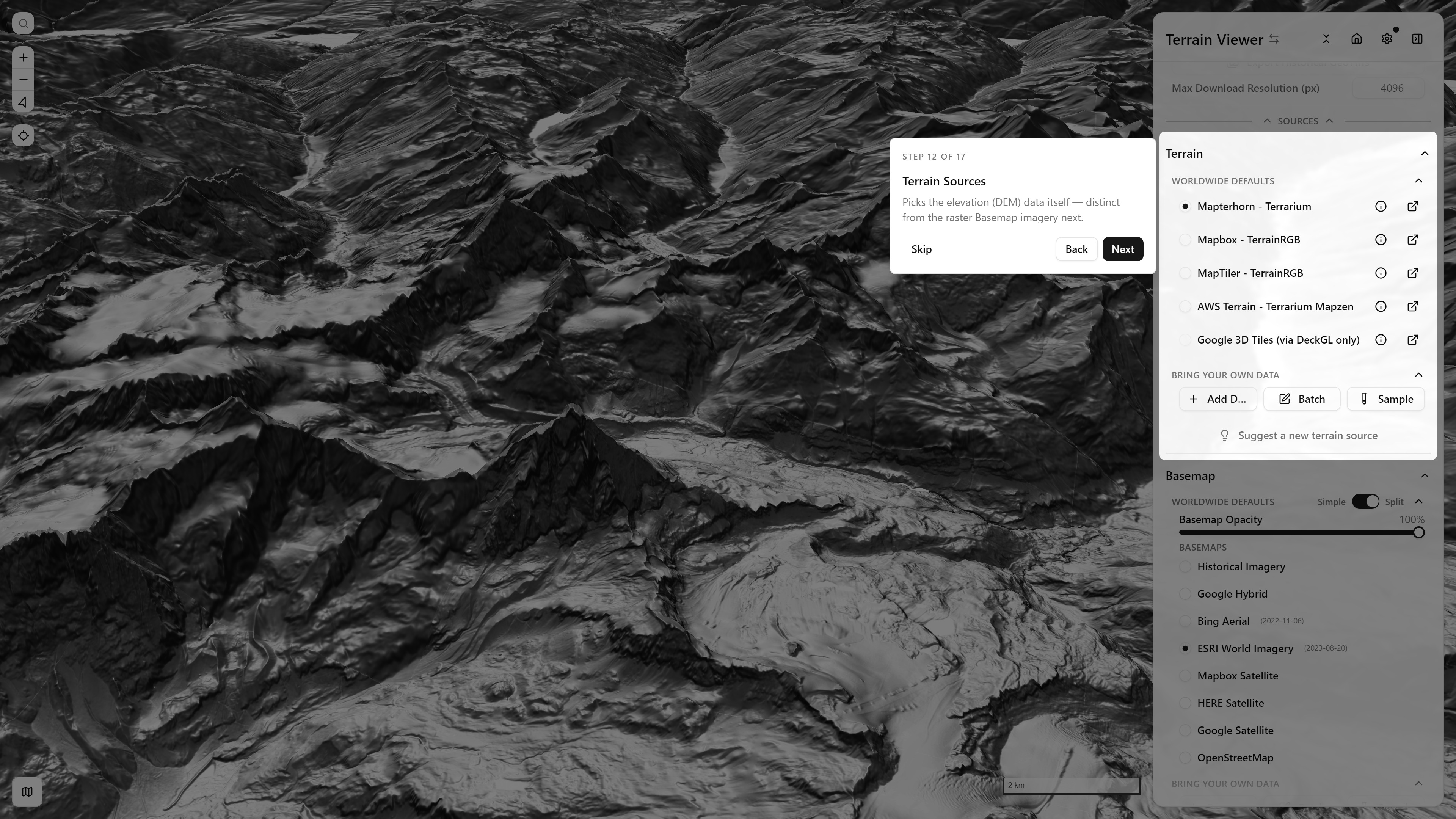
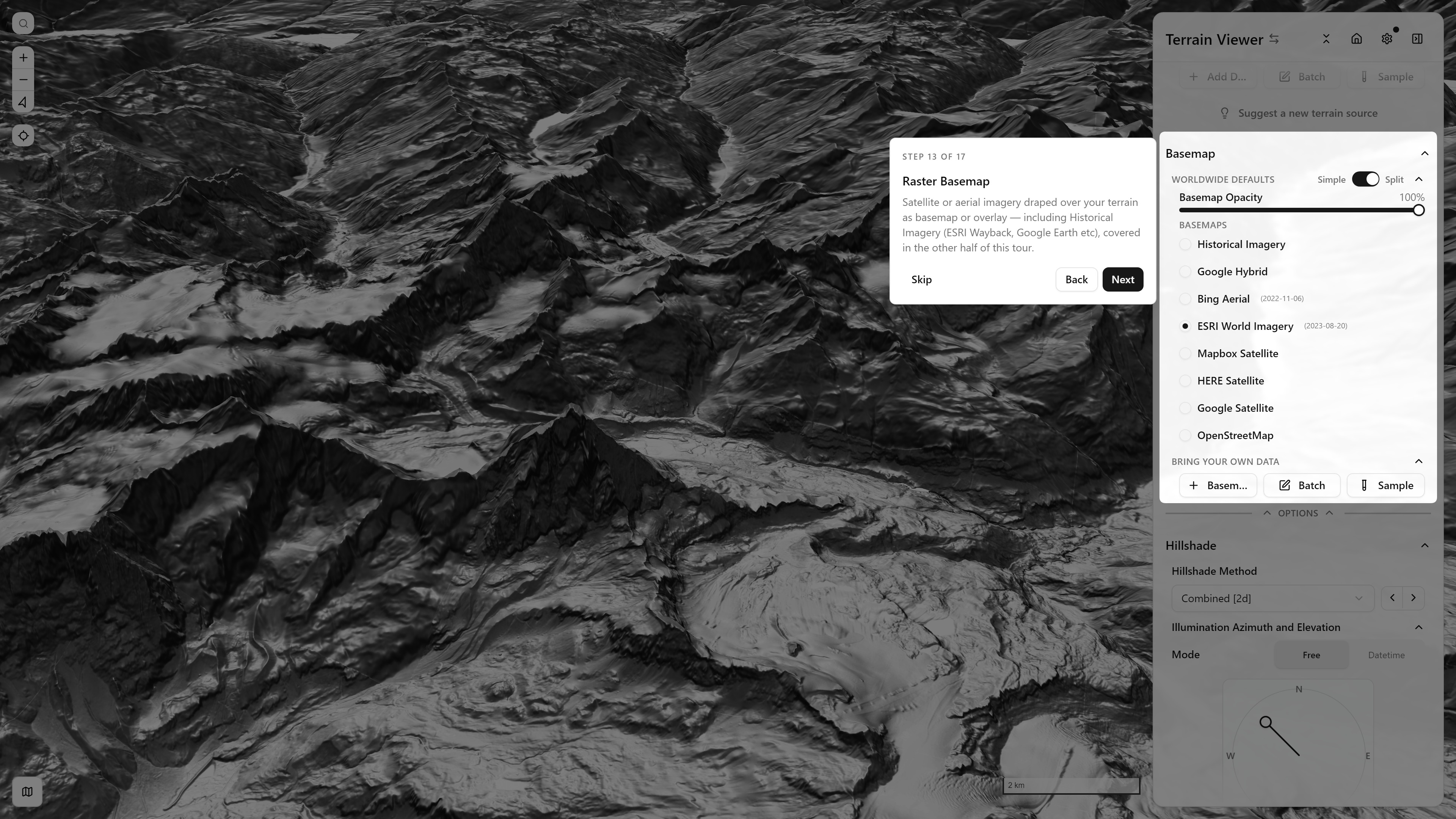
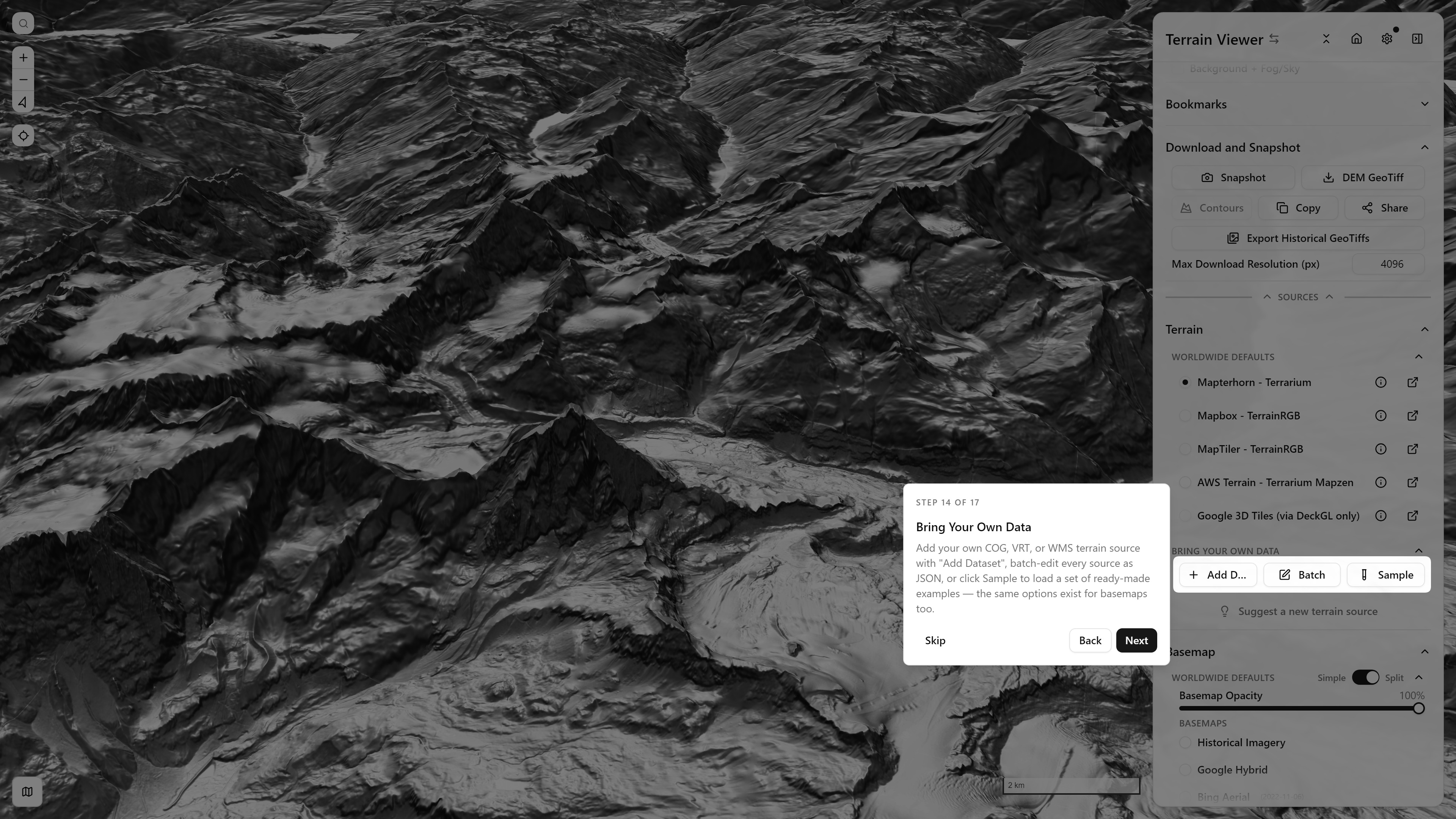
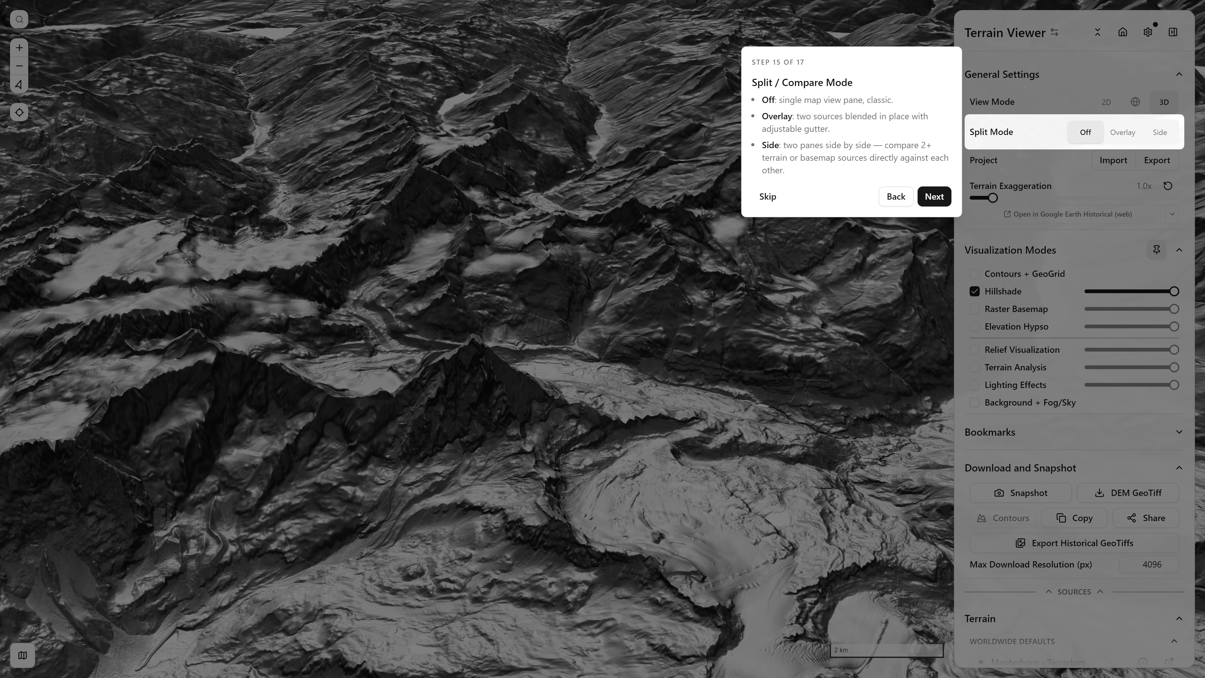
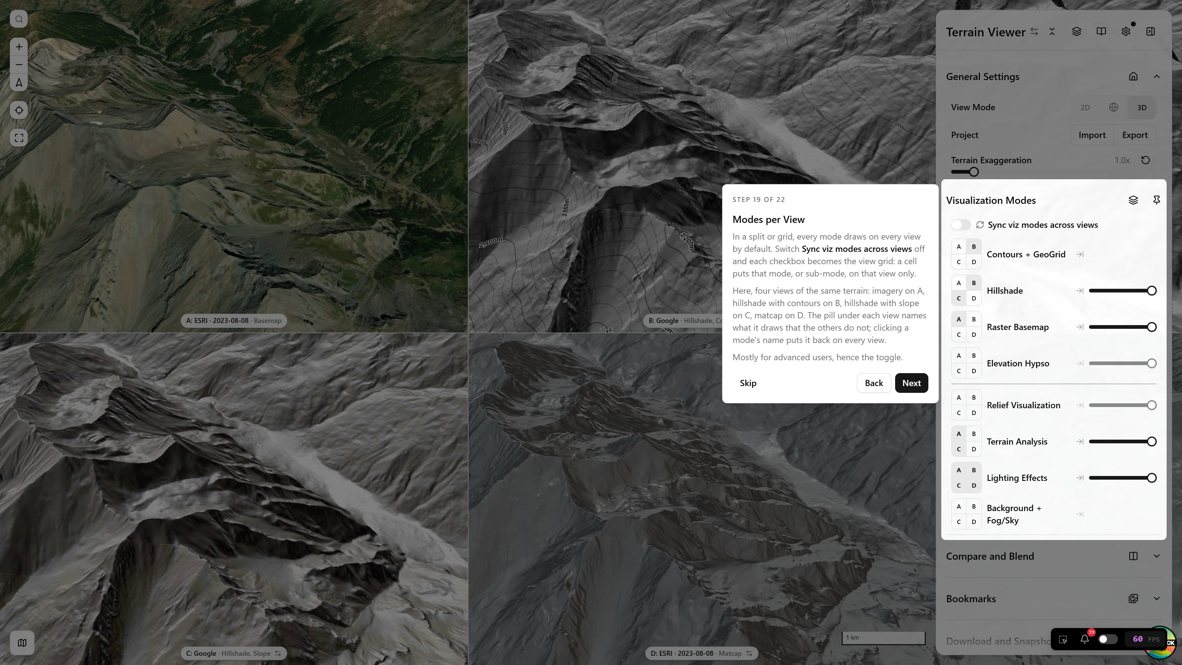
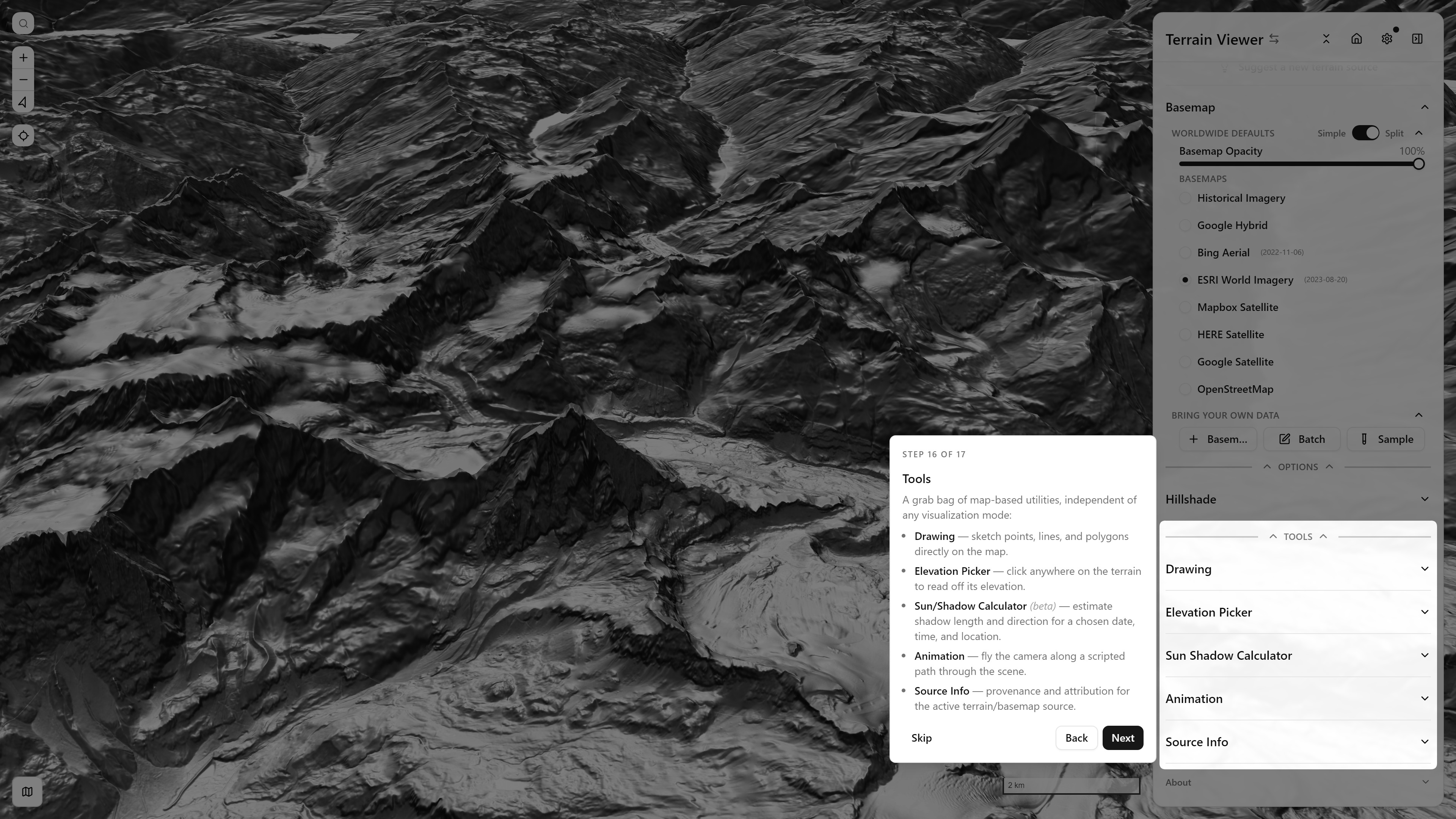
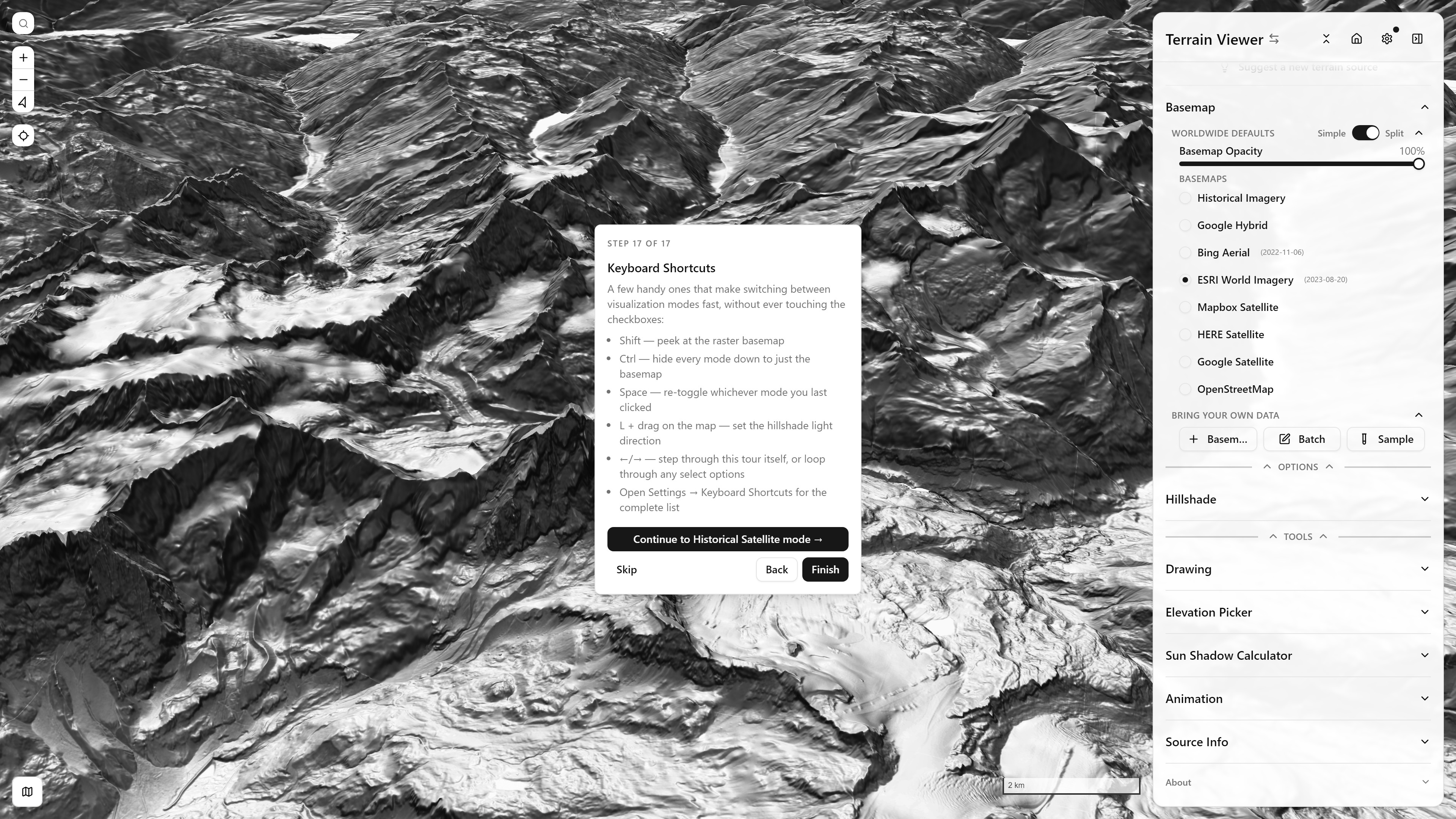
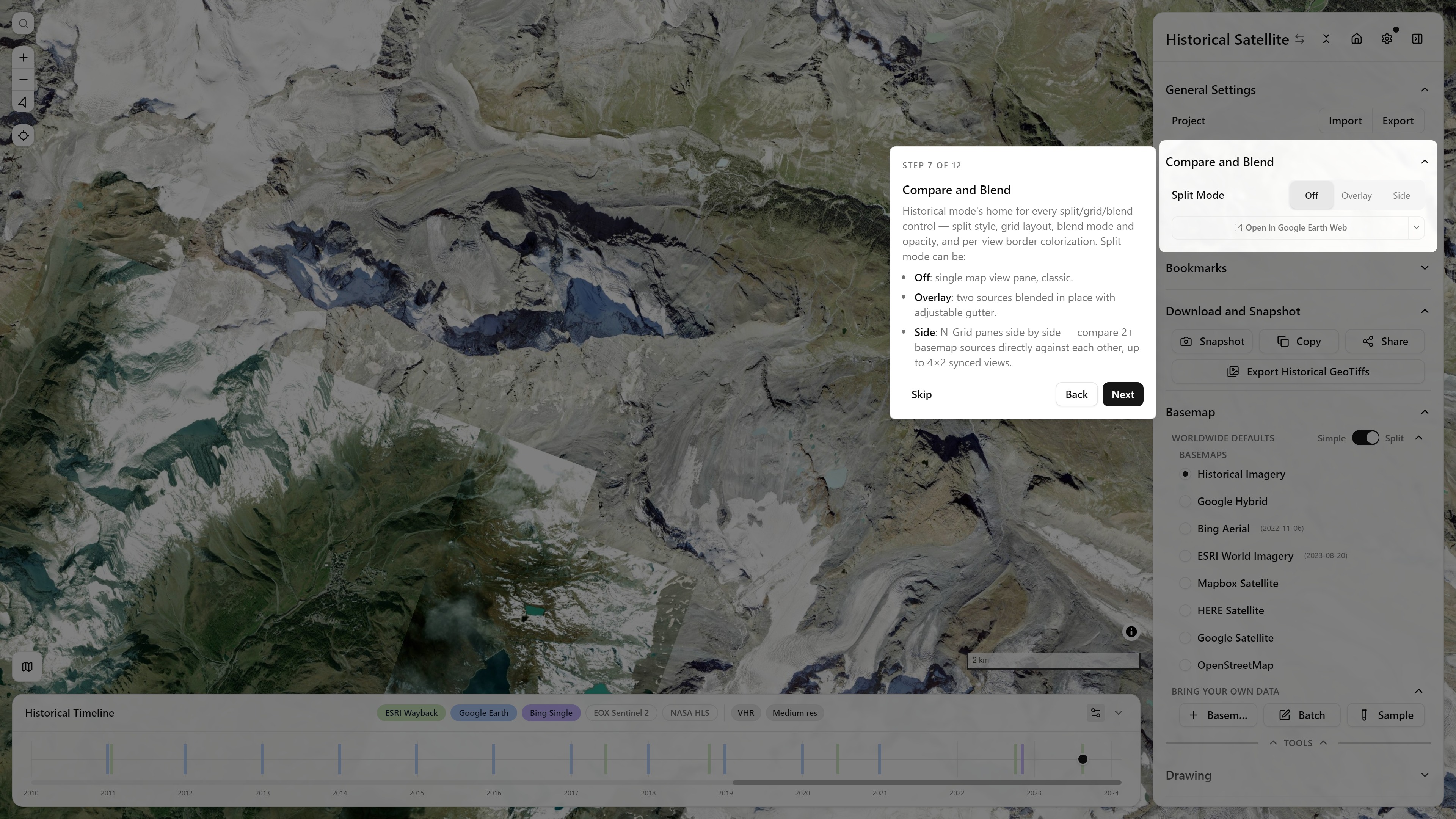
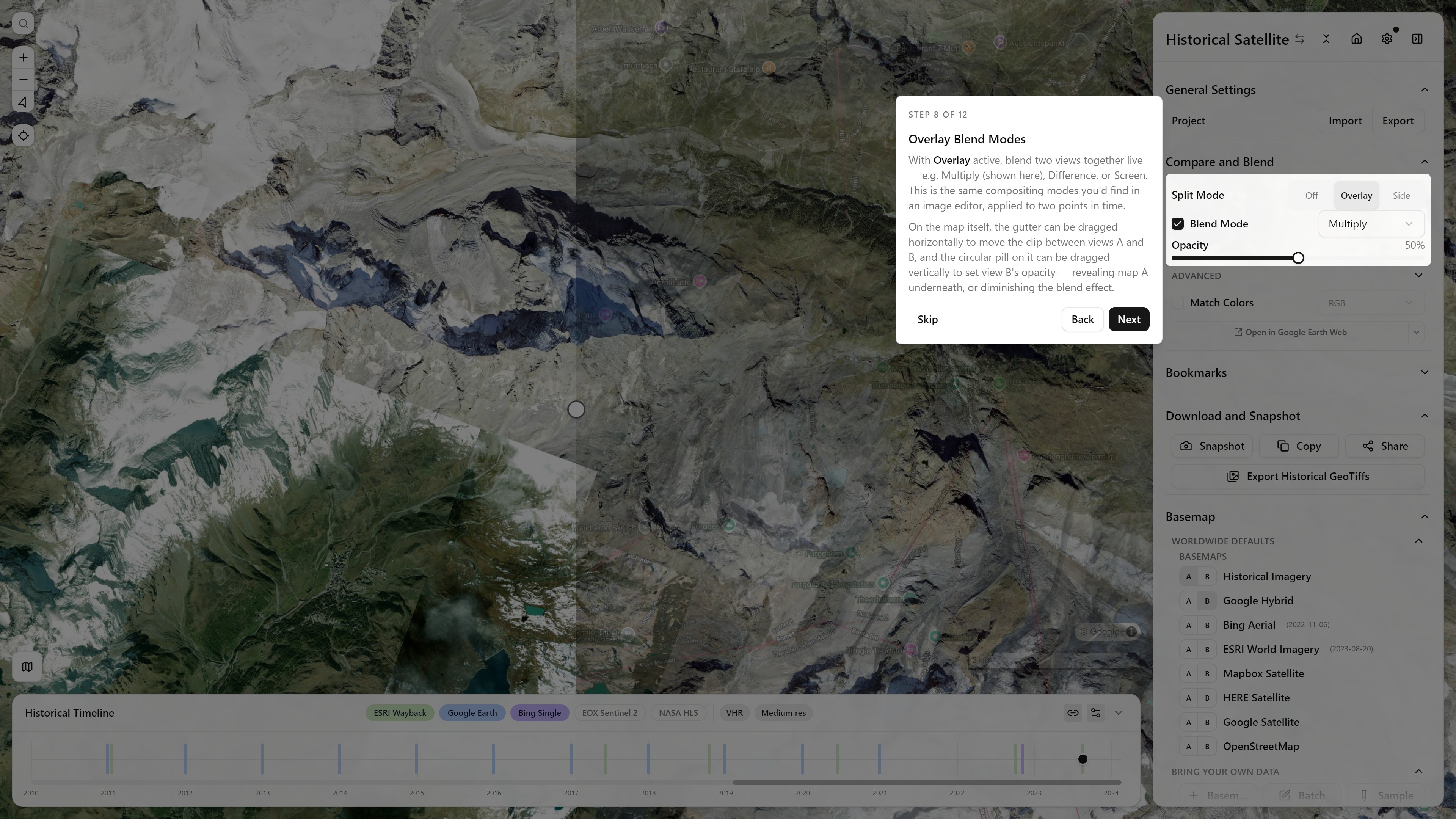
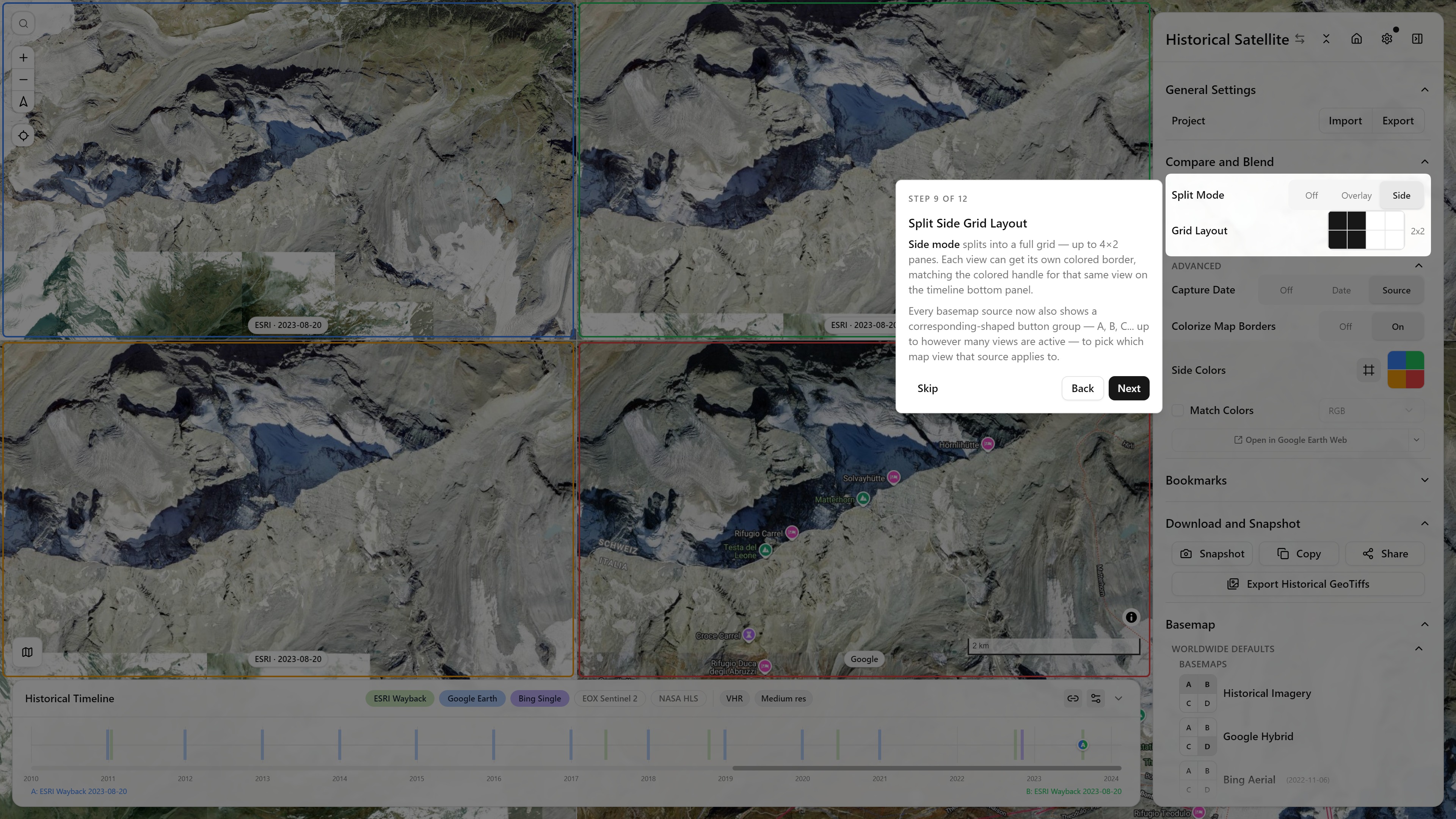
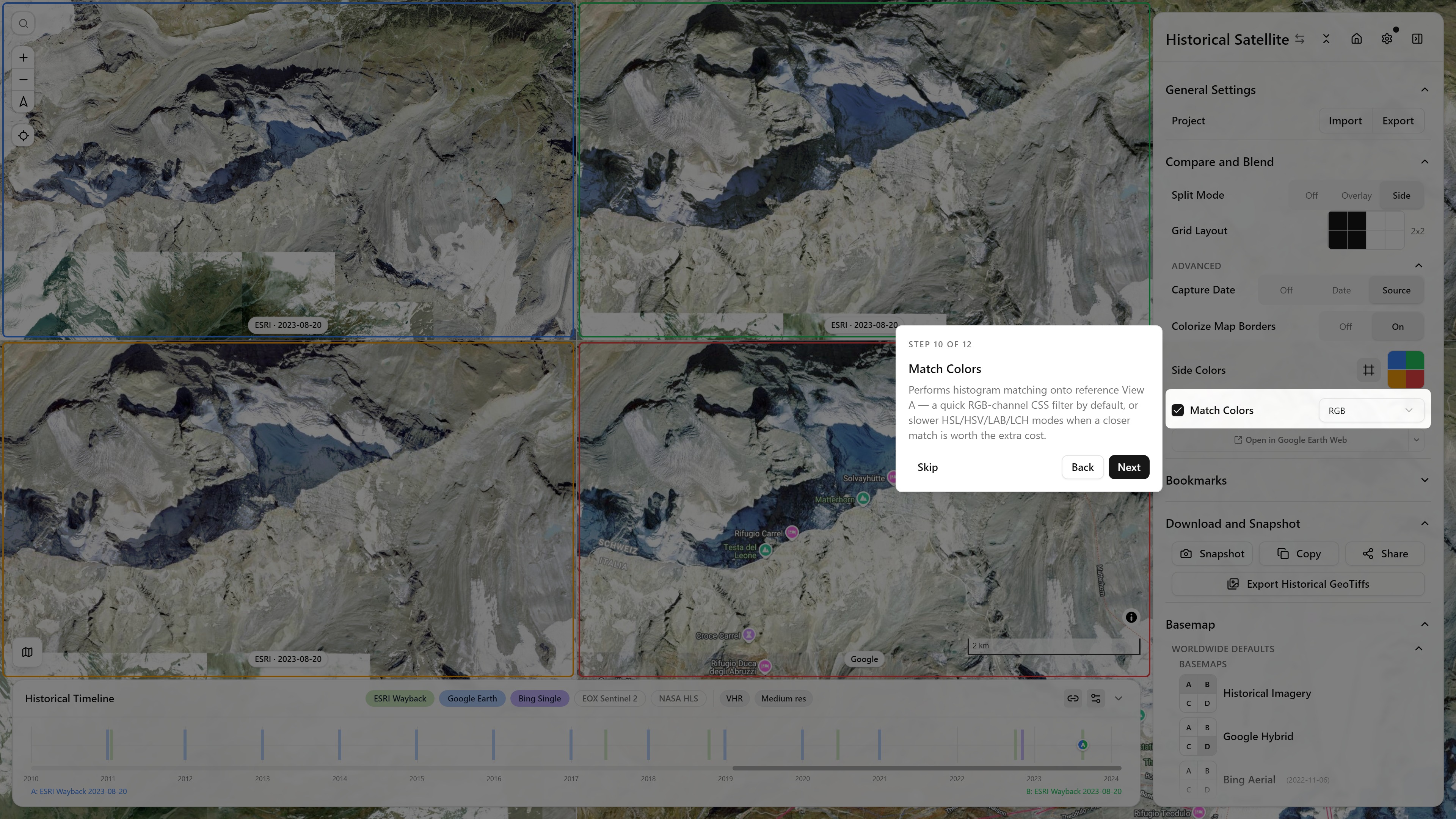
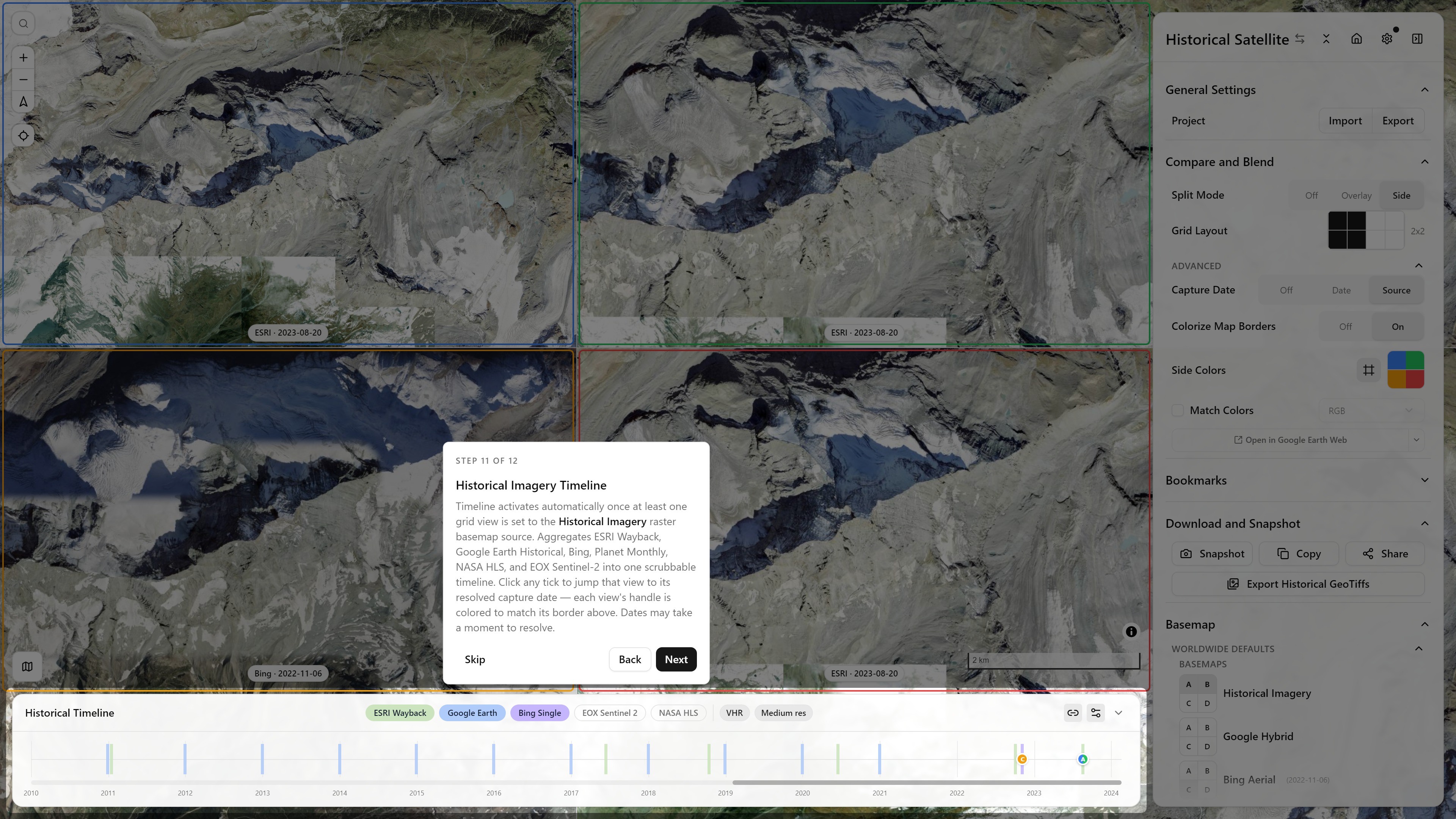
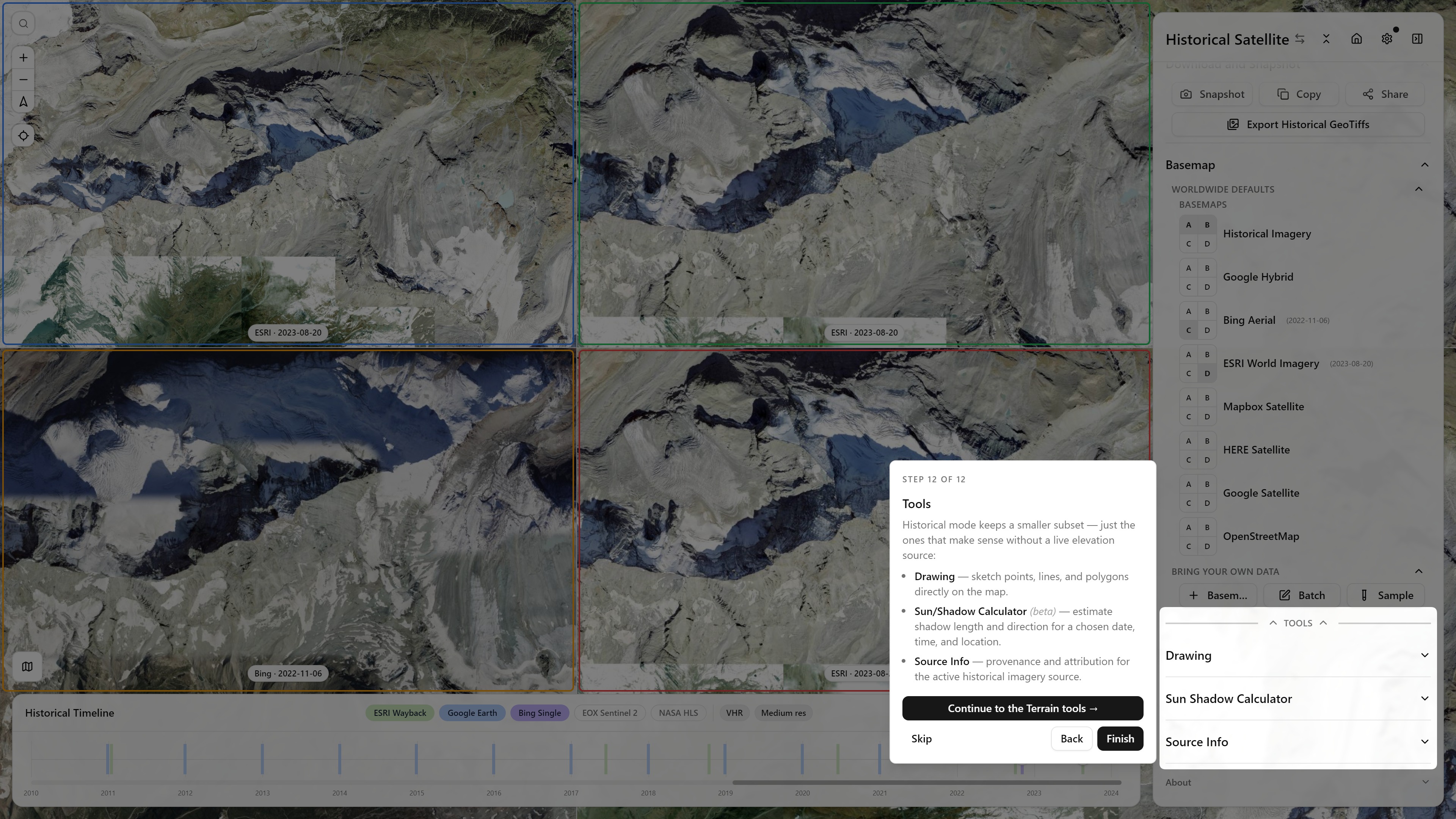
The app ships a guided tour (Coachmark) that auto-starts on first visit, or any time from Settings → Take the Tour. It's five shared intro steps, then a fork — go deeper on Terrain visualization tools, or jump into Historical Imagery. This page walks through every step of both branches as a screenshot gallery; the in-app tour itself is generally the faster way to get oriented — open the app with the tour running ↗ (or click any thumbnail below to zoom in, then arrow-key through the rest).
Intro (shared)
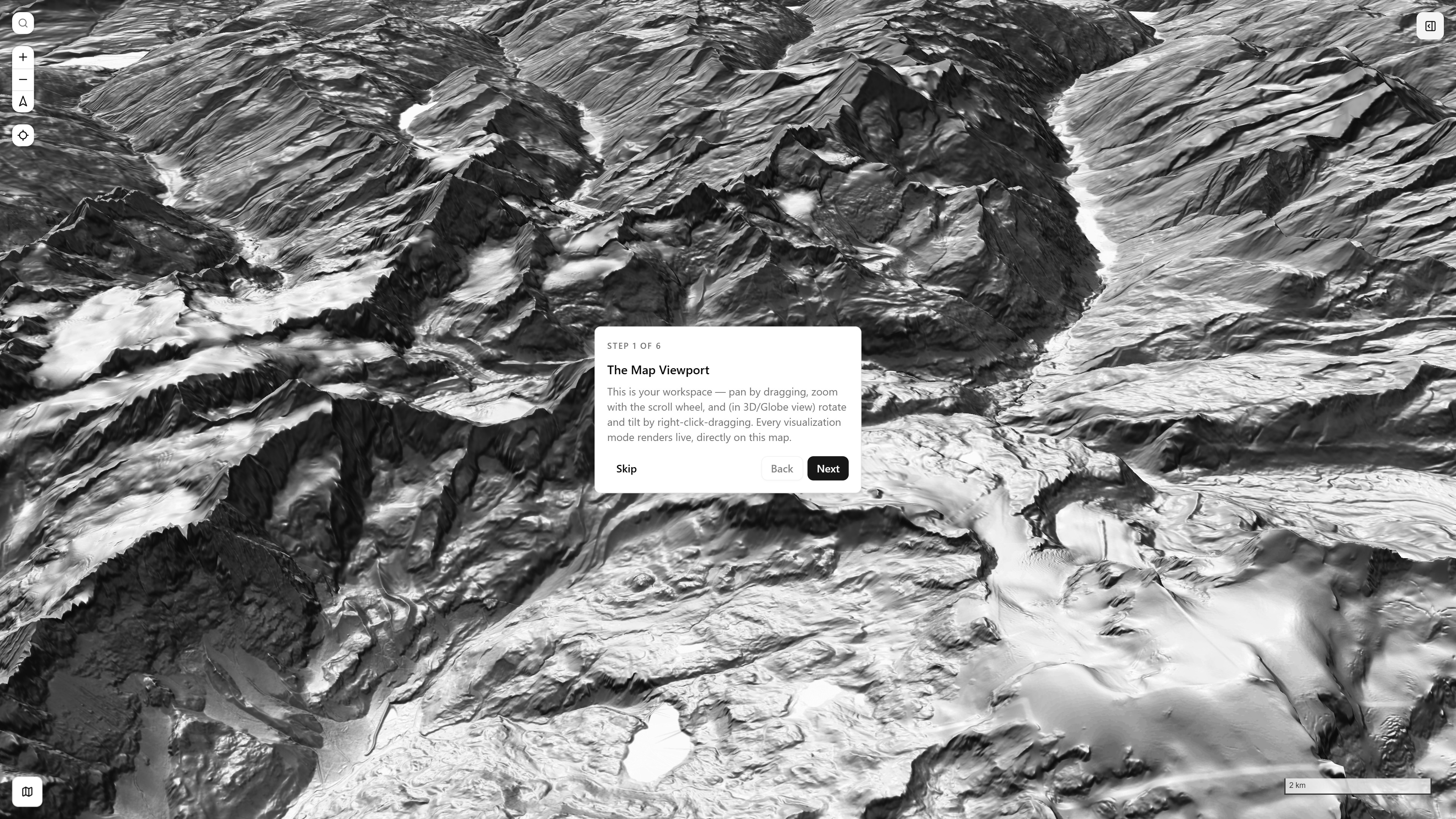
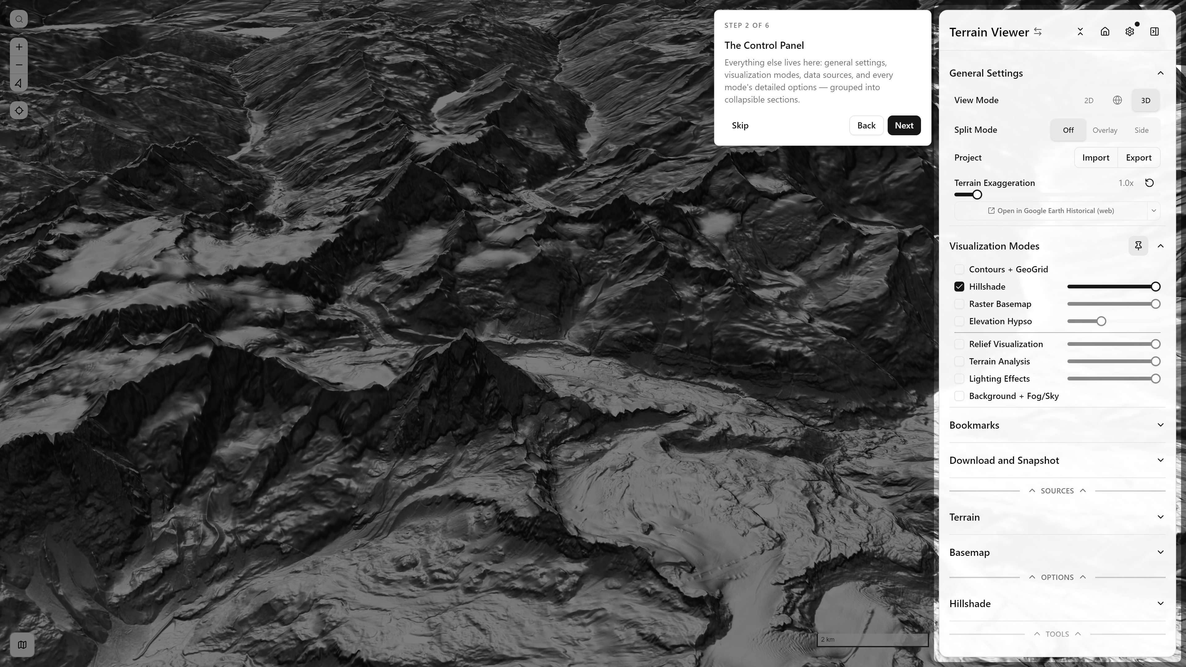
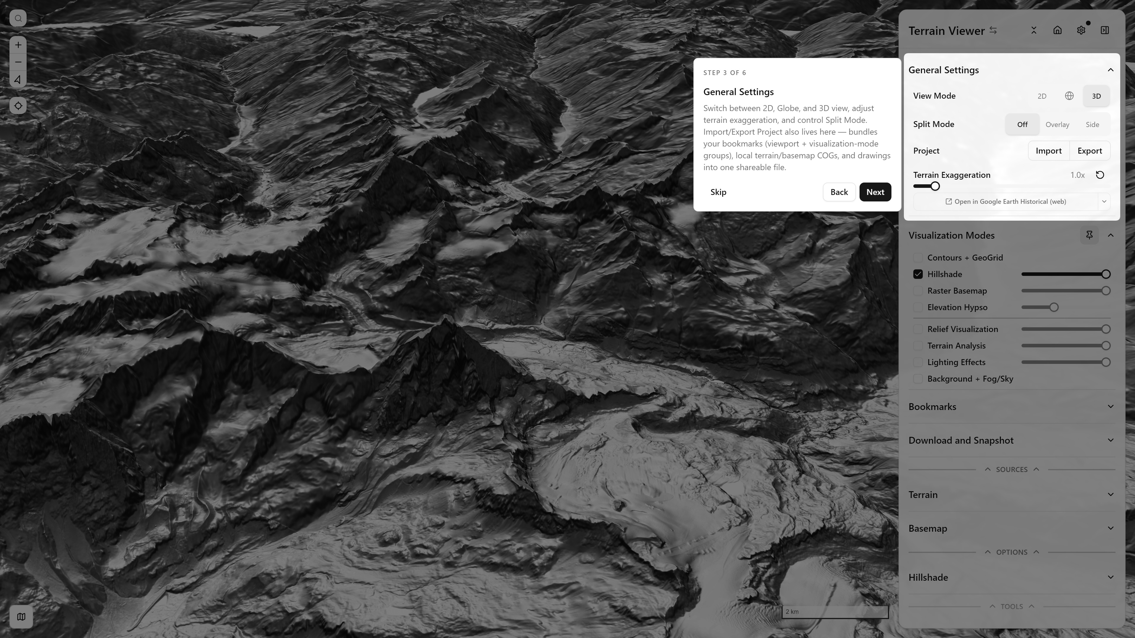
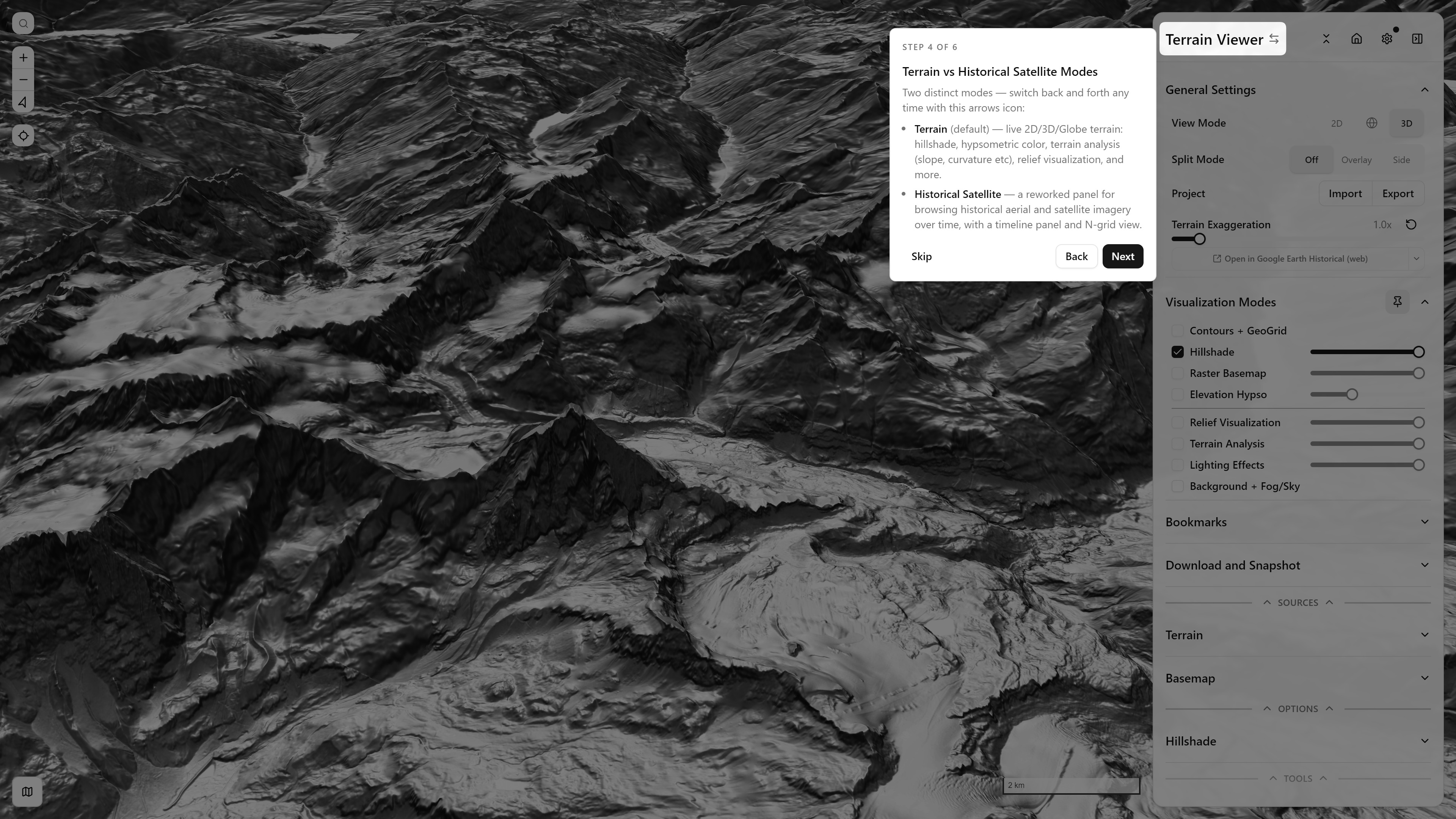
Terrain Tools branch
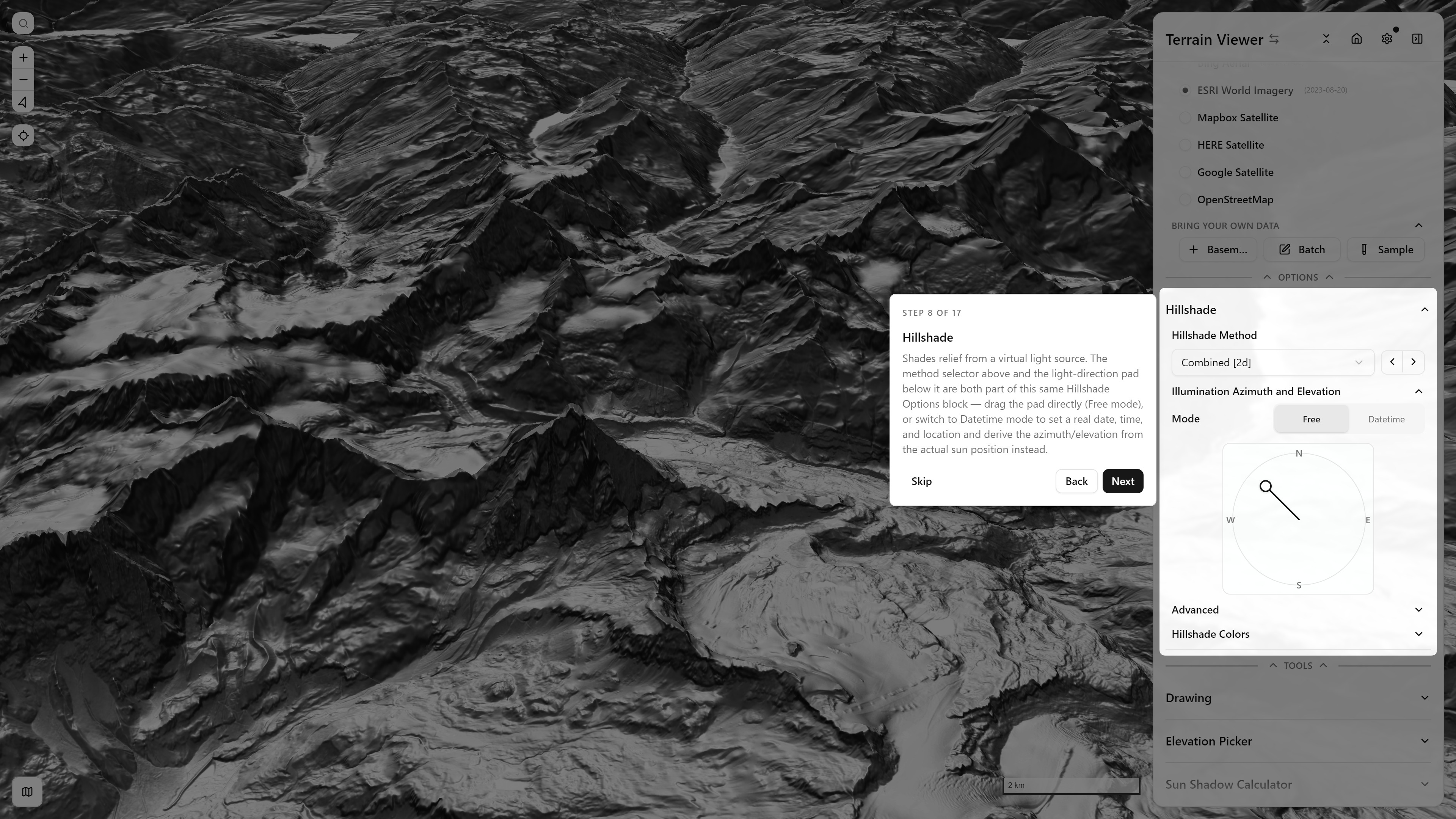
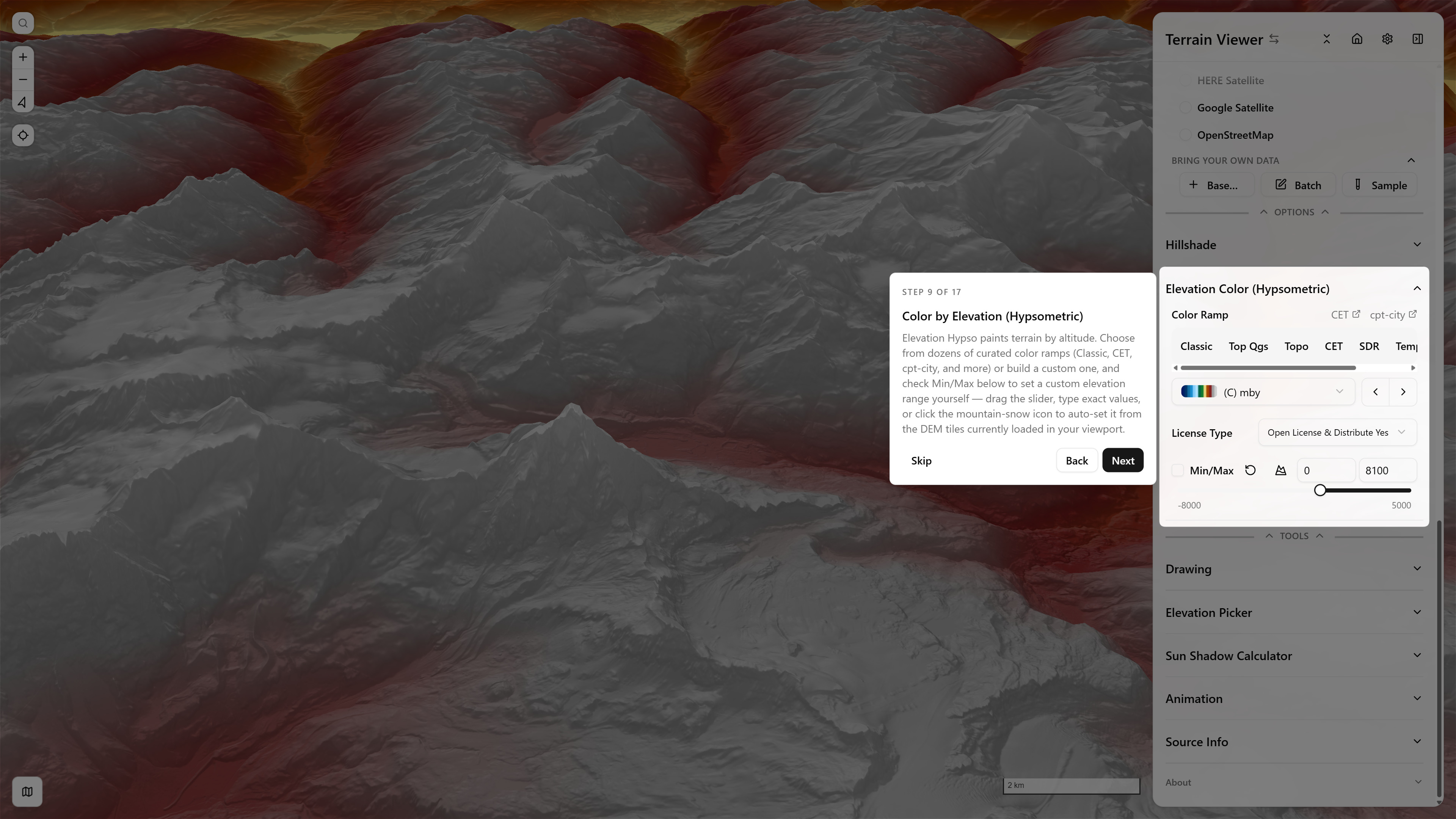
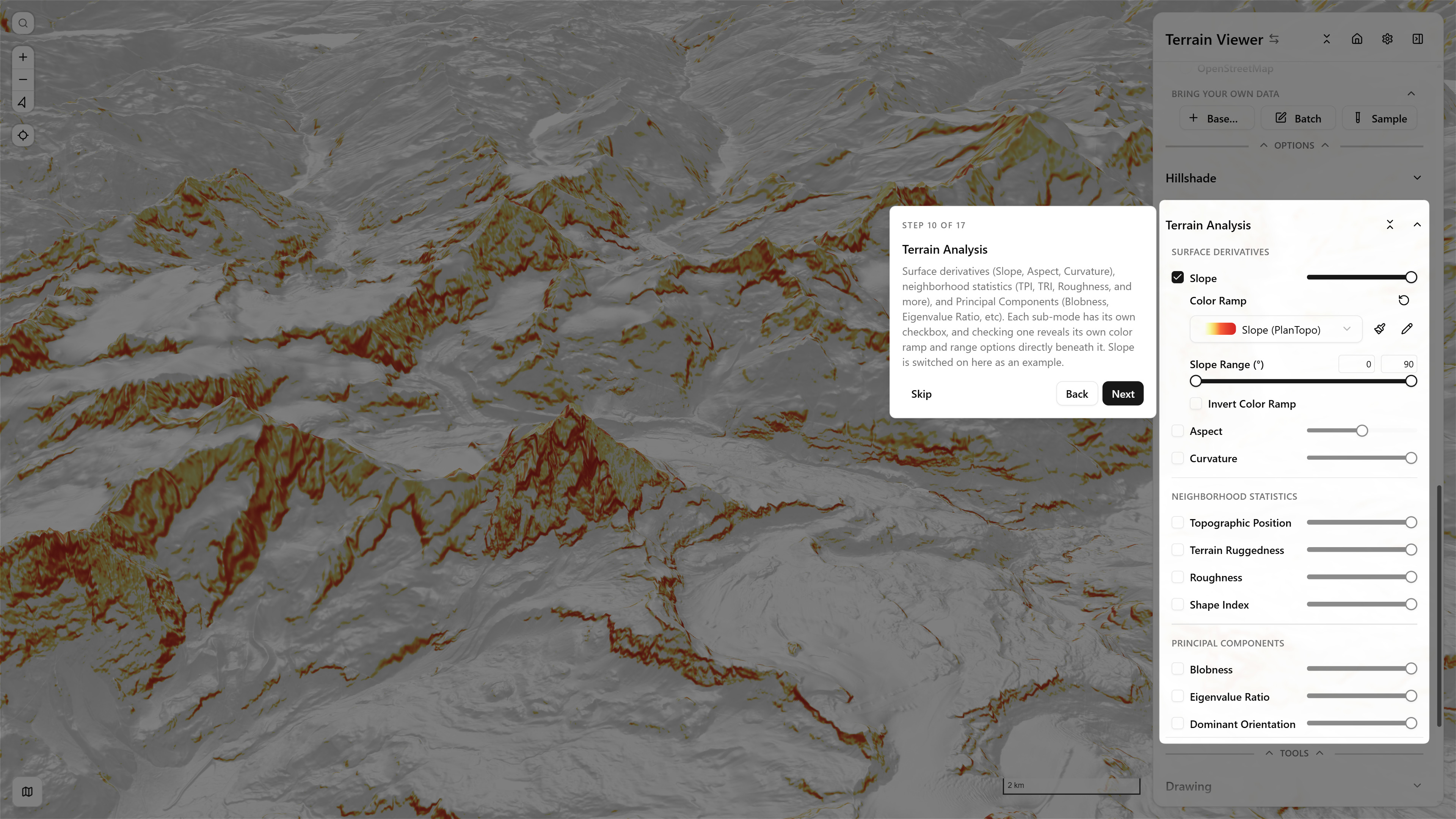
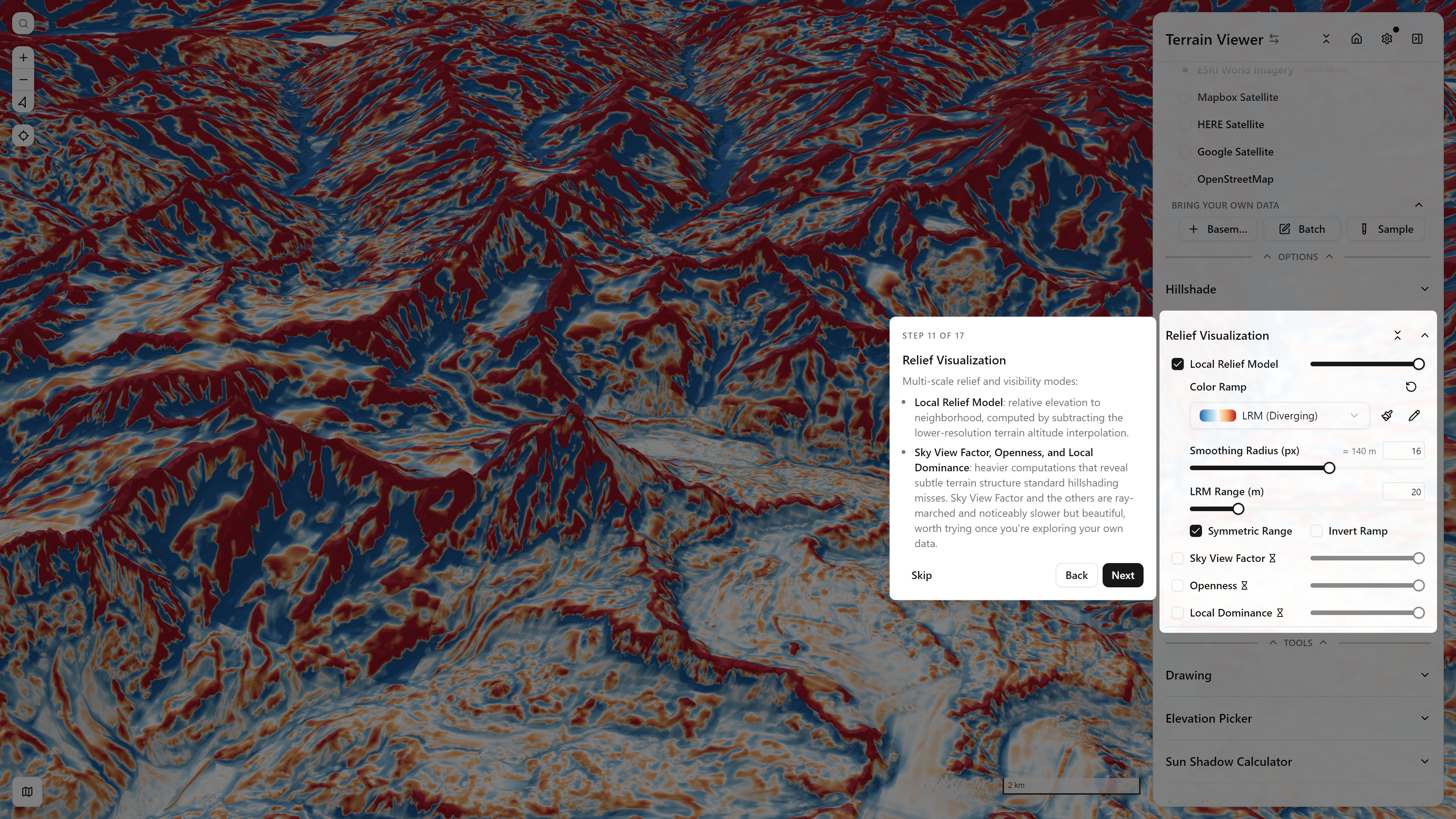
Historical Imagery branch
Feature Overview
Every feature of the free browser terrain viewer, section by section: hillshade and lighting, slope and terrain analysis, contours, hypsometric tint, 3D and globe, split views, historical imagery, national LiDAR, your own COGs, export and share.
Visualization Modes
Each visualization mode of the free terrain viewer, with a picture: hillshade and multidirectional lighting, slope, aspect, curvature, sky-view factor, local relief model, contours, hypsometric tint, and how to combine them.