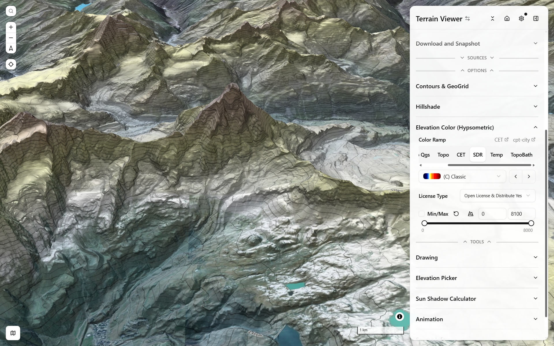
Terrain & historical imagery, in the browser
Hillshade, hypsometric tint, contours, relief visualization, and a historical satellite imagery timeline — built on MapLibre GL.
Terrain Visualization Modes
Hillshade, hypsometric tinting, contours, slope/aspect/curvature, TRI/TPI/roughness, LRM, Sky-View Factor, Openness, and mound (tell) detection.
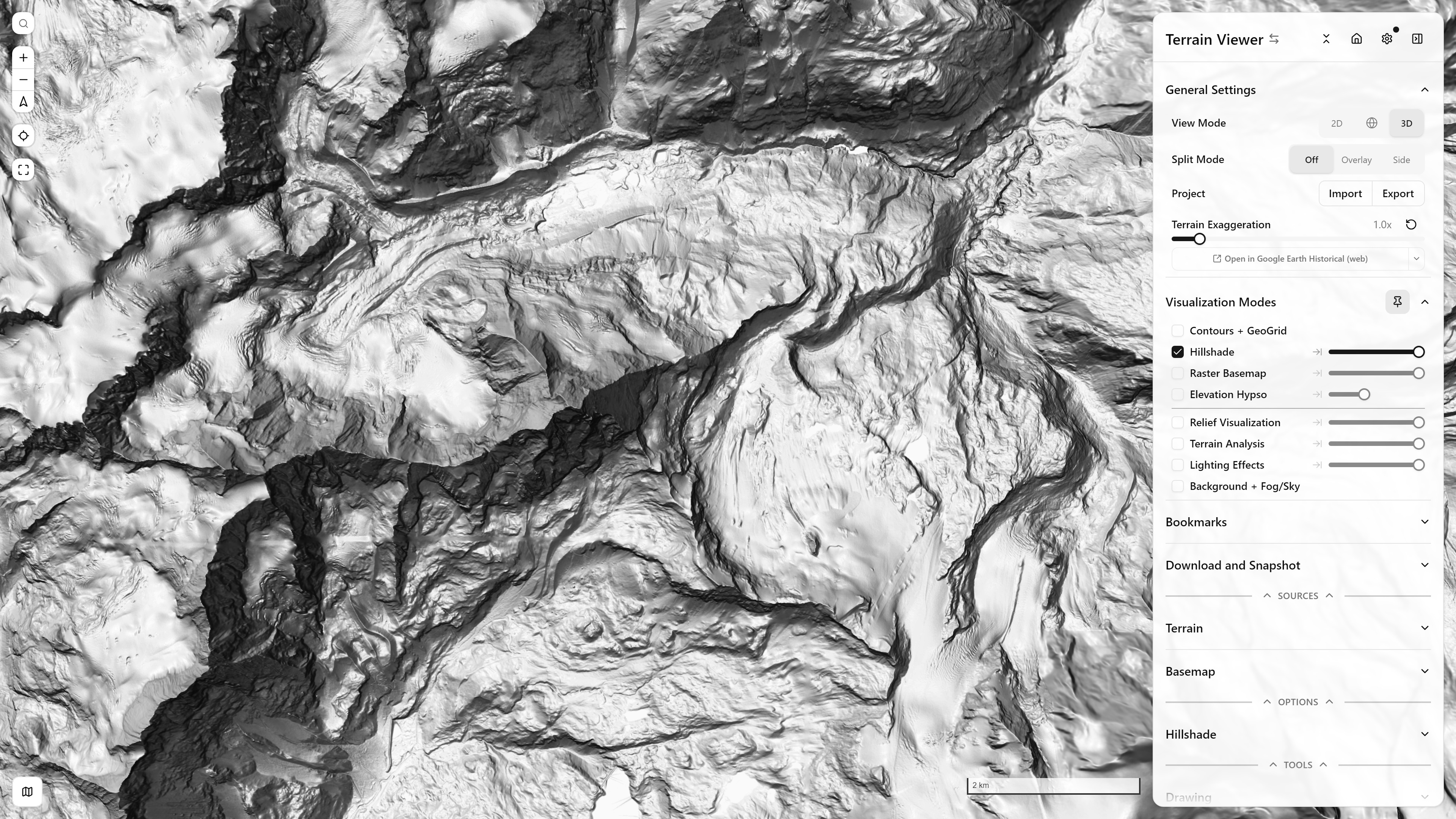
Light-Direction XYPad
Drag a 2D pad to set Hillshade/Phong illumination azimuth and elevation together, bound to real sun position and day/night constraints.
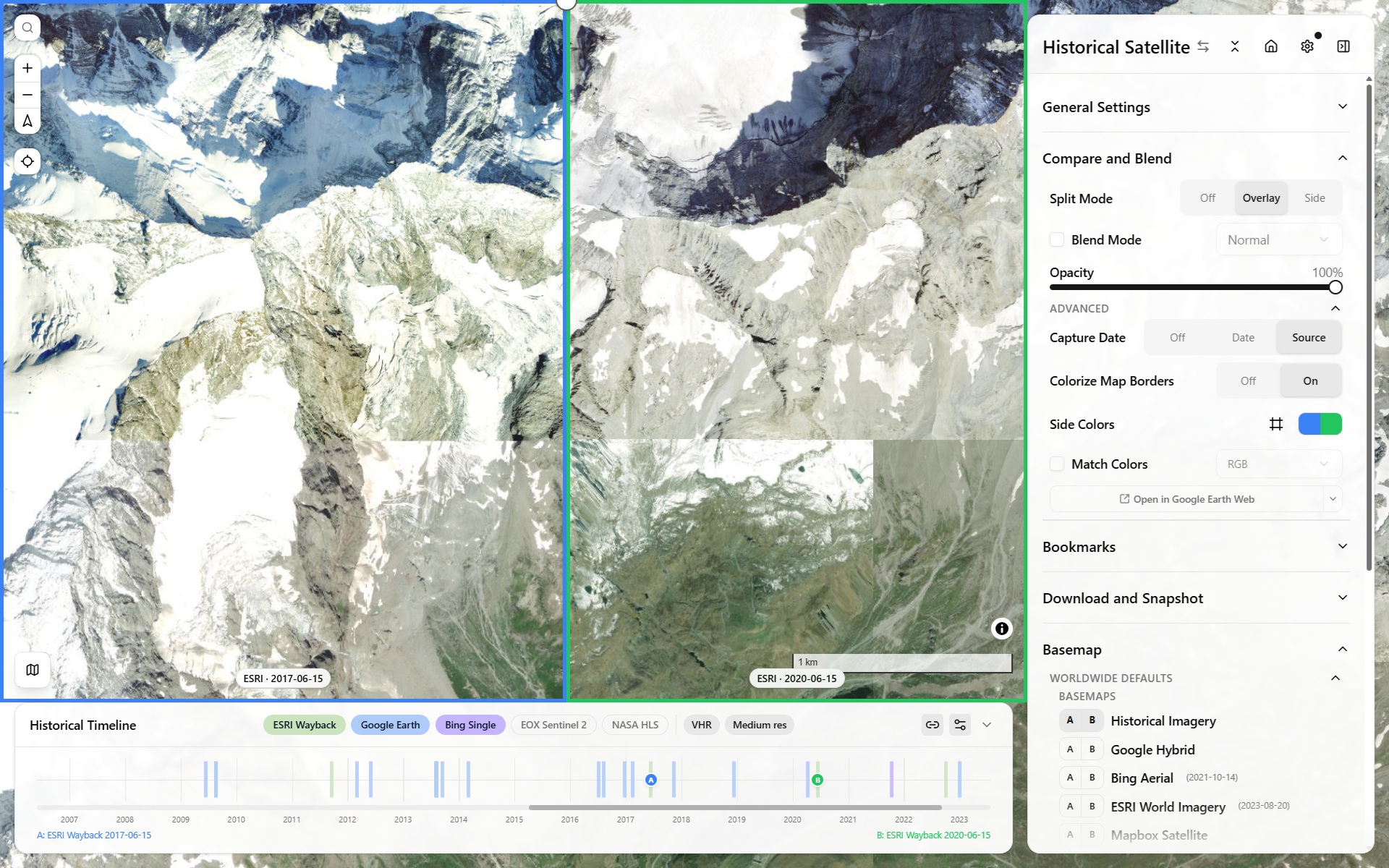
Historical Imagery
Browse decades of historical satellite imagery (Wayback, HLS, Google Earth Historical, Planet) along a draggable timeline, per view.
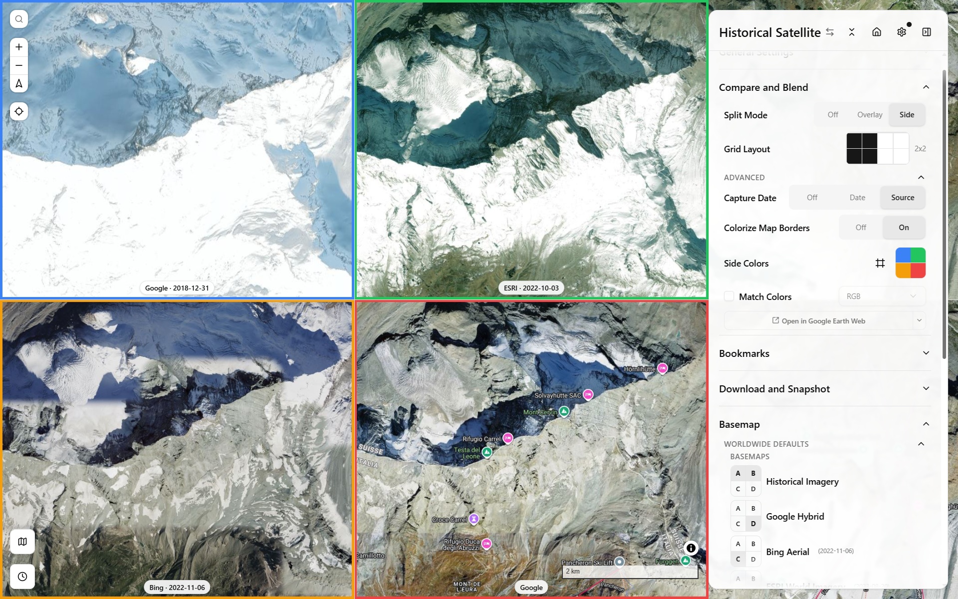
Split Screen & N-Map Compare
Side-by-side, overlay/blend, or up to an 8-view grid to compare terrain sources, basemaps, or historical dates against each other.
Every view is a shareable link
Viewport, sources, and every visualization setting live in the URL — copy the address bar to reproduce the exact same view for anyone else, or save it as a bookmark.
Get Started